Taschereau Bridge


Facts and practical information
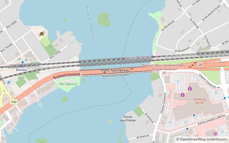
Taschereau Bridge is a bridge linking Pincourt, on Île Perrot, to Vaudreuil-Dorion, in the Vaudreuil-Soulanges RMC across the West Channel of the Ottawa River. The bridge was originally built in 1925, and was doubled in 1964, as part of the same project as Galipeault Bridge, which links the island to Montreal Island, but it has been maintained independently since then. Both bridges carry four lanes of Quebec Autoroute 20, which becomes Harwood Boulevard on the Dorion side. However, Transports Québec plans to build a bypass between the bridge and the junction of Autoroute 540 and upgrade the highway on Île Perrot to freeway standards. The upgrade is slated to be completed by 2019. The bridge also carries a bicycle path, and is part of Route Verte 5. ()
Autoroute 20Québec
Taschereau Bridge – popular in the area (distance from the attraction)
Nearby attractions include: L'Anse-à-l'Orme Nature Park, Sainte-Anne-de-Bellevue Canal, Pont Galipeau, Cap-Saint-Jacques Nature Park.


