Fox Theatre, Toronto
Map
Map

Facts and practical information
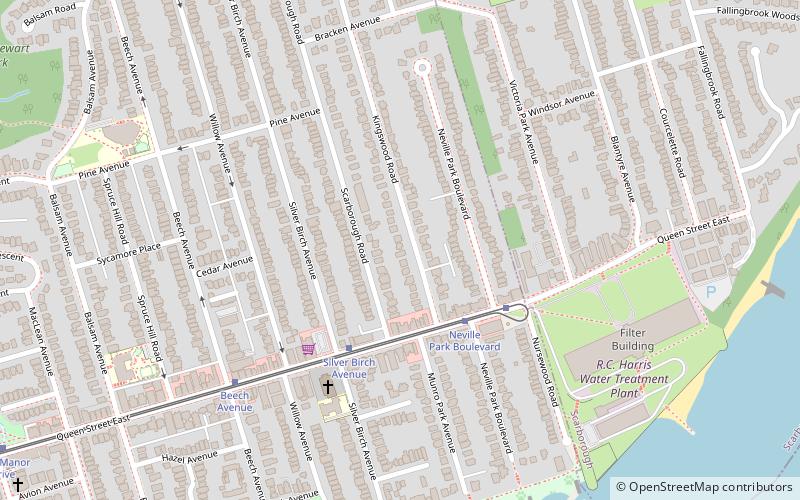
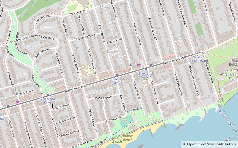
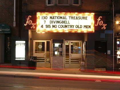
The Fox Theatre is a cinema in the Beaches neighbourhood of Toronto, Ontario at the intersection of Queen Street and Beech Avenue. It has operated since 1914. The Fox Theatre has a single screen and shows a mixture of second-run movies, independent and foreign films, and classic favourites. ()
Coordinates: 43°40'22"N, 79°17'14"W
Address
2236 Queen St EEast End (The Beaches)Toronto M4E 1G2
Contact
+1 416-691-7335
Social media
Add
Day trips
Fox Theatre – popular in the area (distance from the attraction)
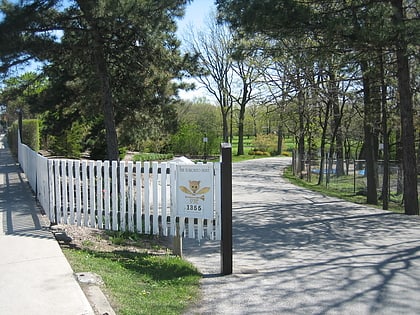
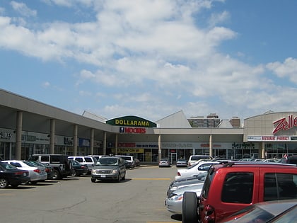
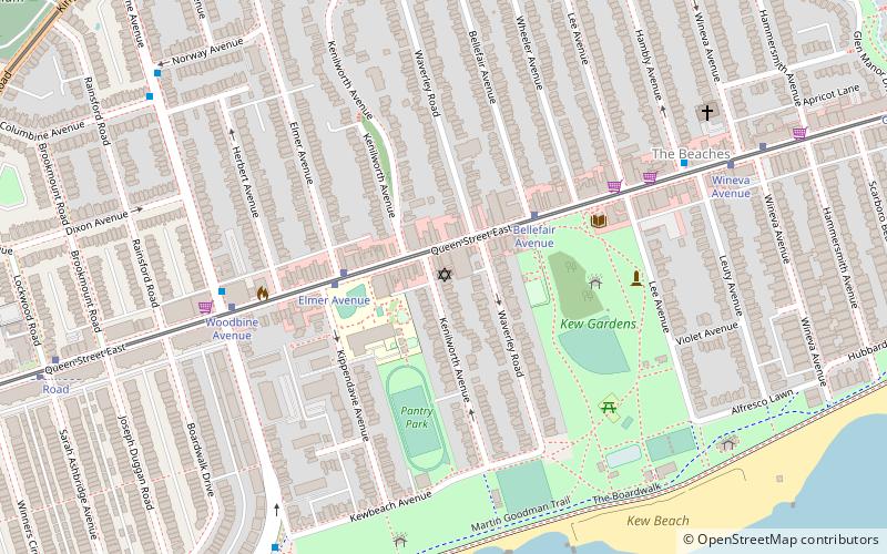
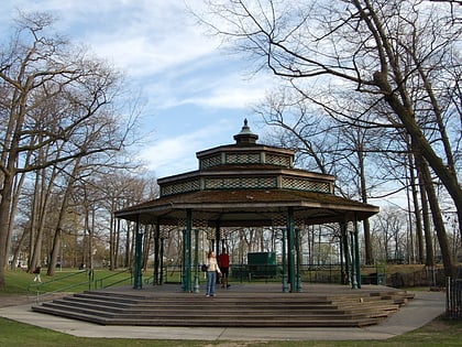
Nearby attractions include: Toronto Hunt Club, Shoppers World Danforth, Ashbridge's Bay, Kew Gardens.
Frequently Asked Questions (FAQ)
Which popular attractions are close to Fox Theatre?
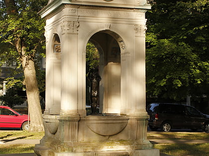
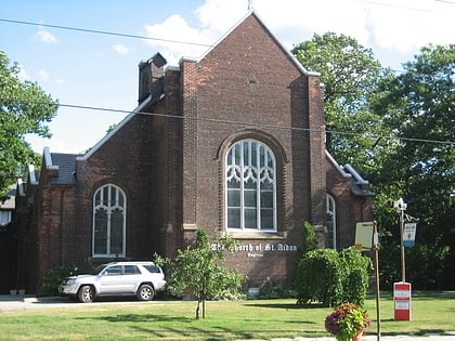
Nearby attractions include Church of St. Aidan, Toronto (3 min walk), George Davis House, Toronto (6 min walk), R. C. Harris Water Treatment Plant, Toronto (11 min walk), Dr. William D. Young Memorial, Toronto (15 min walk).
How to get to Fox Theatre by public transport?
The nearest stations to Fox Theatre:
Tram
Bus
Train
Metro
Tram
- Beech Avenue • Lines: 501, 501;301 (1 min walk)
- Silver Birch Avenue • Lines: 501, 501;301 (3 min walk)
Bus
- Queen Street East • Lines: 404 (12 min walk)
- Williamson Road • Lines: 404 (13 min walk)
Train
- Danforth (30 min walk)
Metro
- Main Street • Lines: 2 (34 min walk)
 Subway
 Streetcar system
 PATH
PATH