The Beaches, Toronto
Map

Gallery
Facts and practical information
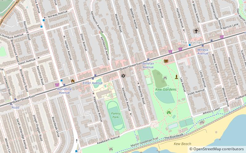
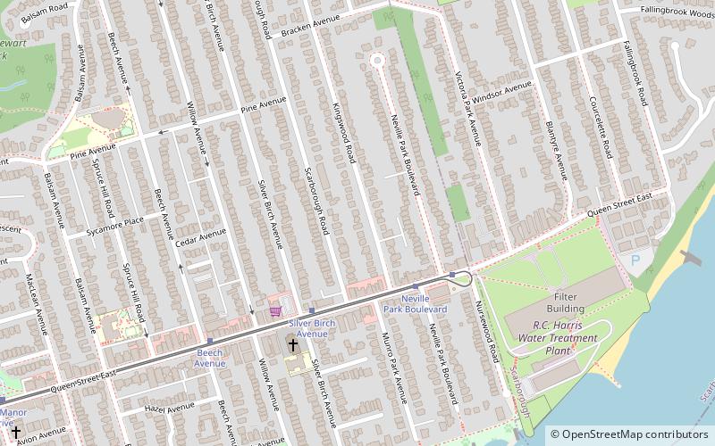
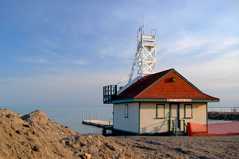
The Beaches is a neighbourhood in Toronto, Ontario, Canada. It is so named because of its four beaches situated on Lake Ontario. It is located east of downtown within the "Old" City of Toronto. The approximate boundaries of the neighbourhood are from Victoria Park Avenue on the east to Kingston Road on the north, along Dundas Street to Coxwell Avenue on the west, south to Lake Ontario. The Beaches is part of the east-central district of Toronto. ()
Coordinates: 43°40'2"N, 79°17'50"W
Address
East End (The Beaches)Toronto
ContactAdd
Social media
Add
Day trips
The Beaches – popular in the area (distance from the attraction)
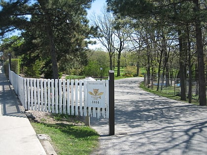
Nearby attractions include: Toronto Hunt Club, Ashbridge's Bay, Kew Gardens, Beach Hebrew Institute.
Frequently Asked Questions (FAQ)
Which popular attractions are close to The Beaches?
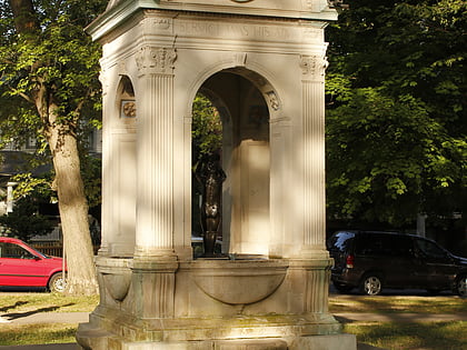
Nearby attractions include Kew Gardens, Toronto (3 min walk), Dr. William D. Young Memorial, Toronto (4 min walk), Beach Hebrew Institute, Toronto (7 min walk), Woodbine Beach, Toronto (17 min walk).
How to get to The Beaches by public transport?
The nearest stations to The Beaches:
Tram
Bus
Tram
- Bellefair Avenue • Lines: 501, 501;301 (7 min walk)
- Wineva Avenue • Lines: 501, 501;301 (7 min walk)
Bus
- Bellefair Avenue • Lines: 404 (7 min walk)
- Queen Street East • Lines: 404 (7 min walk)
 Subway
 Streetcar system
 PATH
PATH