Woodbine Beach, Toronto
Map
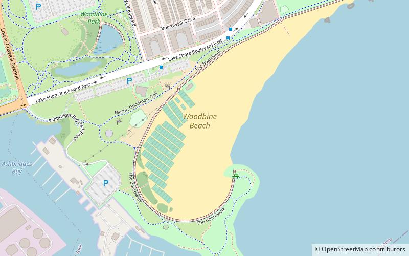
Map

Facts and practical information
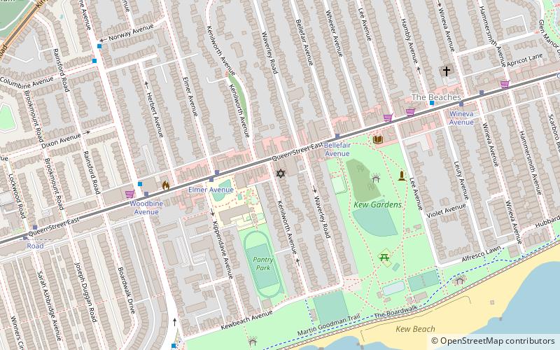
Woodbine Beach is the largest of the four beaches in the Beaches in Toronto, Ontario, Canada. Located along Lake Shore Boulevard at the foot of Woodbine Avenue, it is next to Ashbridge's Bay and Kew-Balmy Beach. Woodbine beach is the westernmost beach in the Beaches, and the series of beaches extend east until the RC Harris Water Treatment Plant. The beach runs parallel to the boardwalk and the Martin Goodman Trail, and is part of Woodbine Beach Park. ()
Coordinates: 43°39'41"N, 79°18'26"W
Address
East End (The Beaches)Toronto
ContactAdd
Social media
Add
Day trips
Woodbine Beach – popular in the area (distance from the attraction)
Nearby attractions include: Ashbridge's Bay, Ashbridge Estate, Maple Leaf Forever Park, Kew Gardens.
Frequently Asked Questions (FAQ)
Which popular attractions are close to Woodbine Beach?
Nearby attractions include Ashbridge's Bay, Toronto (6 min walk), Beach Hebrew Institute, Toronto (16 min walk), The Beaches, Toronto (17 min walk), Kew Gardens, Toronto (17 min walk).
How to get to Woodbine Beach by public transport?
The nearest stations to Woodbine Beach:
Tram
Bus
Tram
- Sarah Ashbridge Avenue • Lines: 501, 501;301 (12 min walk)
- Lockwood Road • Lines: 501, 501;301 (12 min walk)
Bus
- Queen Street East • Lines: 22A, 22B (16 min walk)
- Eastern Avenue • Lines: 22A, 22B (14 min walk)

 Subway
 Streetcar system
 PATH
PATH


