Garrison crossing, Toronto
Map
Map

Facts and practical information
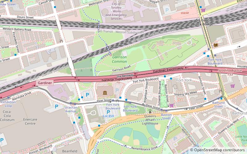
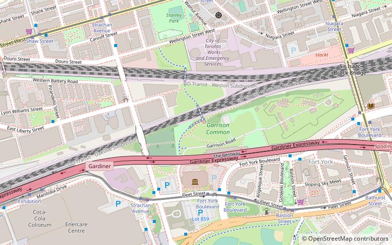
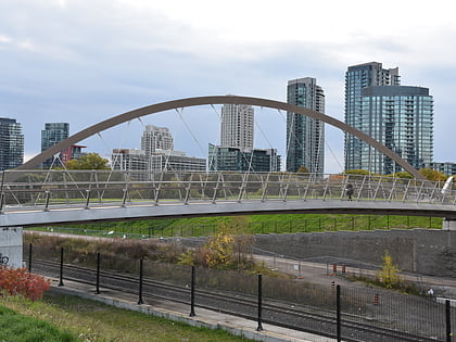
The Garrison Crossing, located in downtown Toronto, provides a link between Stanley Park in the north and the Garrison Common of the Fort York grounds in the south. The crossing includes two stainless steel bridges over rail corridors. The bridges form an important pedestrian and cyclist link to the Waterfront that also connects three parks - Ordnance Park, South Stanley Park with the Fort York neighbourhood. ()
Coordinates: 43°38'19"N, 79°24'29"W
Address
West End (Fort York)Toronto
ContactAdd
Social media
Add
Day trips
Garrison crossing – popular in the area (distance from the attraction)
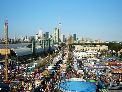
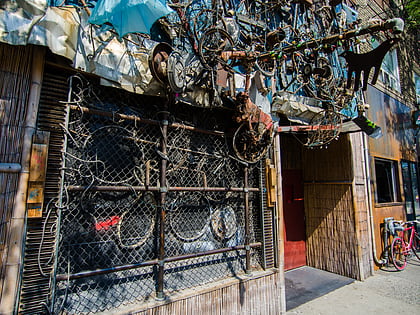
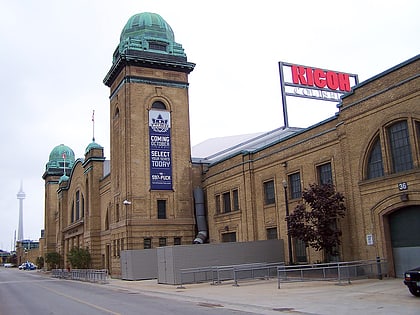
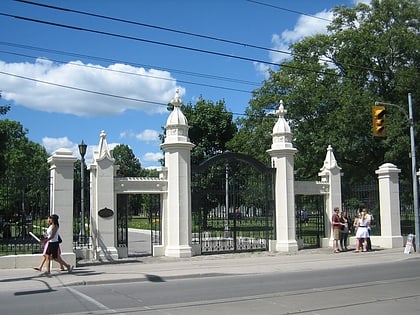
Nearby attractions include: Exhibition Place, Bovine Sex Club, Burroughes Building, Martin Goodman Trail.
Frequently Asked Questions (FAQ)
Which popular attractions are close to Garrison crossing?
Nearby attractions include The Bentway, Toronto (3 min walk), The Royal Regiment of Canada, Toronto (4 min walk), Fort York Armoury, Toronto (4 min walk), Queen's Wharf Lighthouse, Toronto (7 min walk).
How to get to Garrison crossing by public transport?
The nearest stations to Garrison crossing:
Bus
Tram
Train
Ferry
Metro
Bus
- Fleet Street • Lines: 363 (4 min walk)
- Canniff Street • Lines: 363, 63 (8 min walk)
Tram
- Fort York Boulevard • Lines: 509, 511 (5 min walk)
- Strachan Avenue • Lines: 509, 511 (6 min walk)
Train
- Exhibition (15 min walk)
Ferry
- Bathurst Street Terminal • Lines: Billy Bishop Airport Ferry (16 min walk)
- Billy Bishop Terminal • Lines: Billy Bishop Airport Ferry (19 min walk)
Metro
- St. Andrew • Lines: 1 (34 min walk)
- Osgoode • Lines: 1 (35 min walk)
 Subway
 Streetcar system
 PATH
PATH