The Hamptons, Edmonton
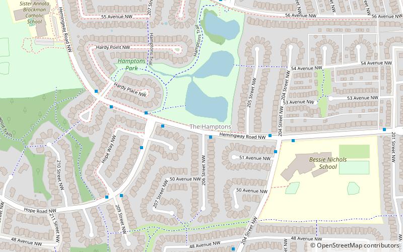
Map
Facts and practical information
Area: 1.1 mi²Coordinates: 53°29'17"N, 113°40'34"W
Address
West Edmonton (The Hamptons)Edmonton
ContactAdd
Social media
Add
Getting there by public transportation
Public transportation stops near this location
- Bus
 Bus
Bus
- Calculate route62 Ave & Glastonbury Boulevard 13 min walk
- Calculate routeGlastonbury Boulevard & Gibb Wind 16 min walk
Day trips

Frequently Asked Questions (FAQ)
How to get to The Hamptons by public transport?
The nearest stations to The Hamptons:
Bus
Bus
- 62 Ave & Glastonbury Boulevard • Lines: 917 (13 min walk)
- Glastonbury Boulevard & Gibb Wind • Lines: 917 (16 min walk)