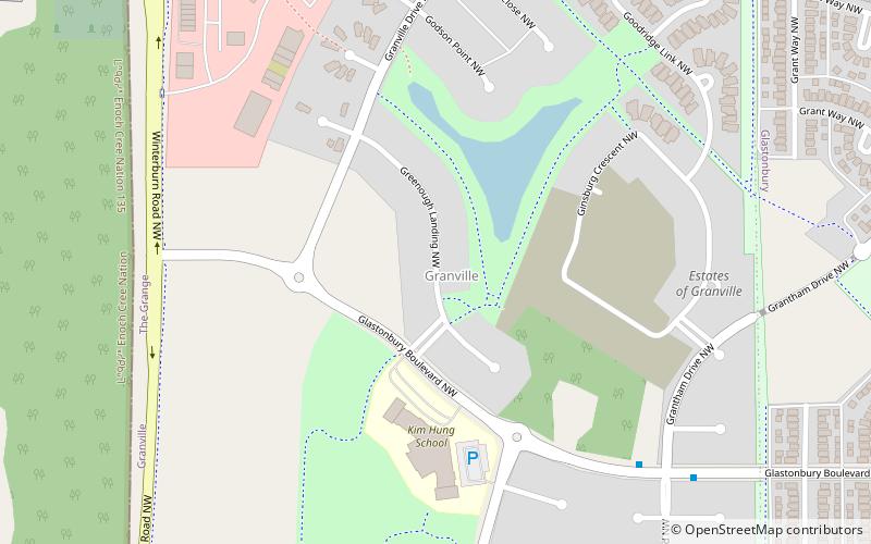
Glastonbury, Edmonton
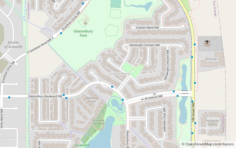
Map
Facts and practical information
Area: 0.69 mi²Coordinates: 53°30'12"N, 113°40'12"W
Address
West Edmonton (Glastonbury)Edmonton
ContactAdd
Social media
Add
Getting there by public transportation
Public transportation stops near this location
- Bus
 Bus
Bus
- Calculate route69 Ave & 199 Street 5 min walk
- Calculate route199 Street & Glenwright Crescent 7 min walk
- Calculate routeGlastonbury Boulevard & Galland Close 7 min walk
Day trips

Frequently Asked Questions (FAQ)
How to get to Glastonbury by public transport?
The nearest stations to Glastonbury:
Bus
Bus
- 69 Ave & 199 Street • Lines: 917 (5 min walk)
- 199 Street & Glenwright Crescent • Lines: 917 (7 min walk)