Granville, Edmonton
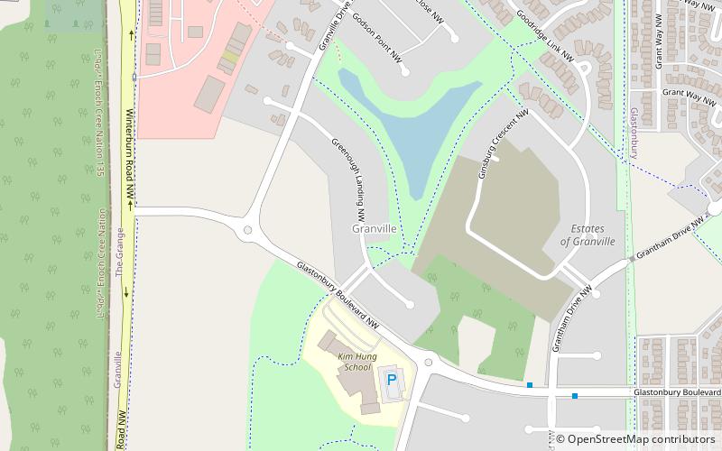
Map
Facts and practical information
Granville is a neighbourhood in west Edmonton, Alberta, Canada. It is bounded on the north by Whitemud Drive, on the east by a utility right-of-way running directly north-south at approximately -113.677 degrees W, on the south by 62 Ave NW, and on the west by Winterburn Road. Whitemud Drive provides access to Anthony Henday Drive and destinations on the south side, including: West Edmonton Mall, Whyte Avenue, the University of Alberta, and Southgate Centre. ()
Area: 0.51 mi²Coordinates: 53°30'17"N, 113°40'59"W
Address
West Edmonton (Granville)Edmonton
ContactAdd
Social media
Add
Day trips
Granville – popular in the area (distance from the attraction)
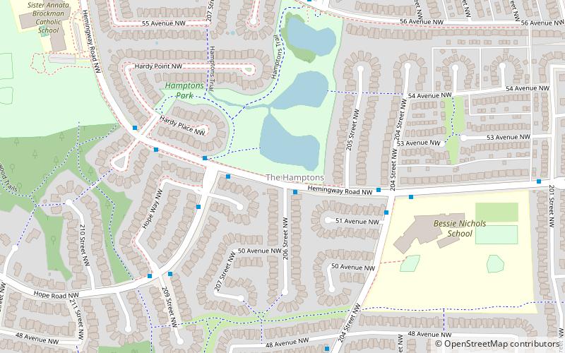
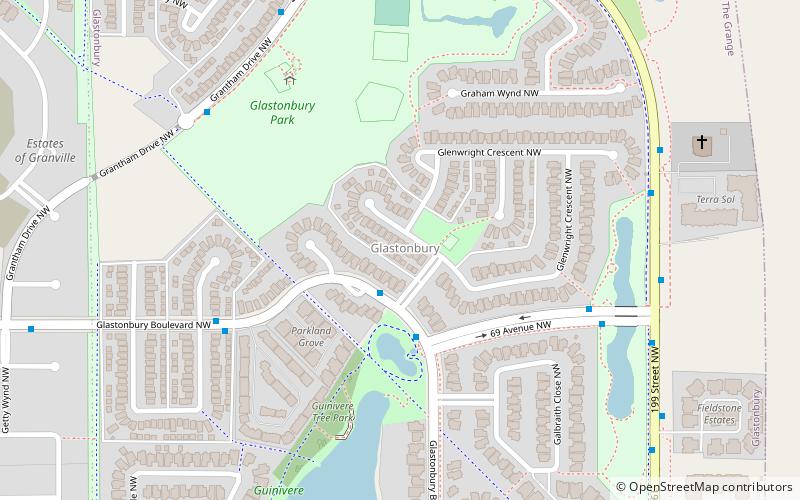
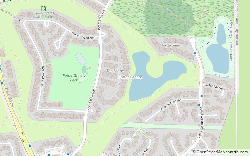
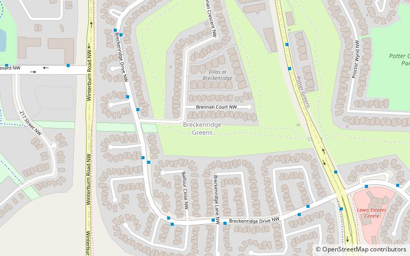
Nearby attractions include: The Hamptons, Glastonbury, Potter Greens, Breckenridge Greens.
Frequently Asked Questions (FAQ)
Which popular attractions are close to Granville?
Nearby attractions include Glastonbury, Edmonton (14 min walk), Breckenridge Greens, Edmonton (21 min walk).
How to get to Granville by public transport?
The nearest stations to Granville:
Bus
Bus
- Guardian Road at The Grange Pointe • Lines: 917 (12 min walk)
