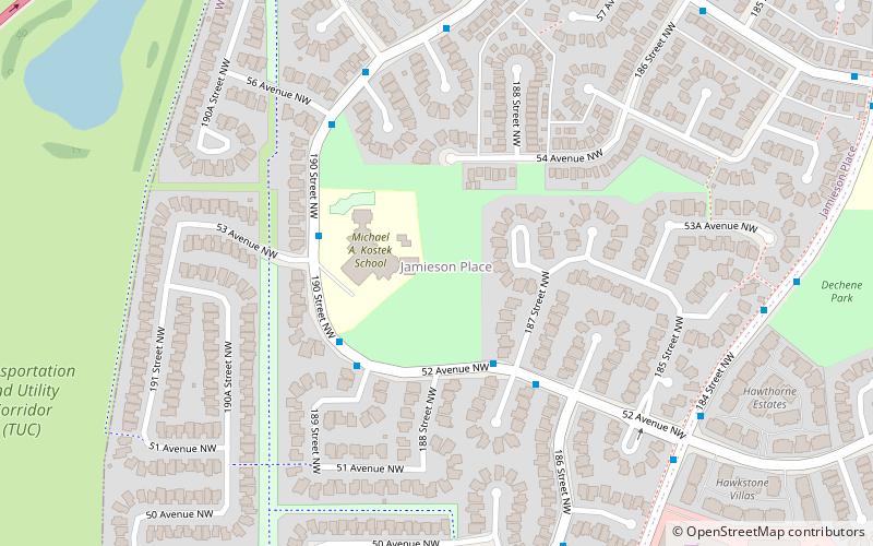
Jamieson Place, Edmonton
Map
Facts and practical information
Jamieson Place is a residential neighbourhood in west Edmonton, Alberta, Canada. The neighbourhood is named for Colonel F.C. Jamieson, Edmonton lawyer, colonel in the Canadian Expeditionary Force during WWI and Alberta Conservative MLA 1931-1935. ()
Area: 0.42 mi²Coordinates: 53°29'22"N, 113°38'56"W
Address
West Edmonton (Jamieson Place)Edmonton
ContactAdd
Social media
Add
Getting there by public transportation
Public transportation stops near this location
- Bus
 Bus
Bus
- Calculate routeCallingwood Road & 188 Street 11 min walk
- Calculate route188 Street & Callingwood Road 12 min walk
- Calculate route66 Ormsby West Road 14 min walk
- Calculate route67 Ormsby West Road 14 min walk
Day trips


Frequently Asked Questions (FAQ)
Which popular attractions are close to Jamieson Place?
Nearby attractions include Dechene, Edmonton (15 min walk), Donsdale, Edmonton (17 min walk), Ormsby Place, Edmonton (19 min walk), Wedgewood Heights, Edmonton (19 min walk).
How to get to Jamieson Place by public transport?
The nearest stations to Jamieson Place:
Bus
Bus
- Callingwood Road & 188 Street • Lines: 917 (11 min walk)
- 188 Street & Callingwood Road • Lines: 917 (12 min walk)