Eaux Claires, Edmonton
Map
Map

Facts and practical information
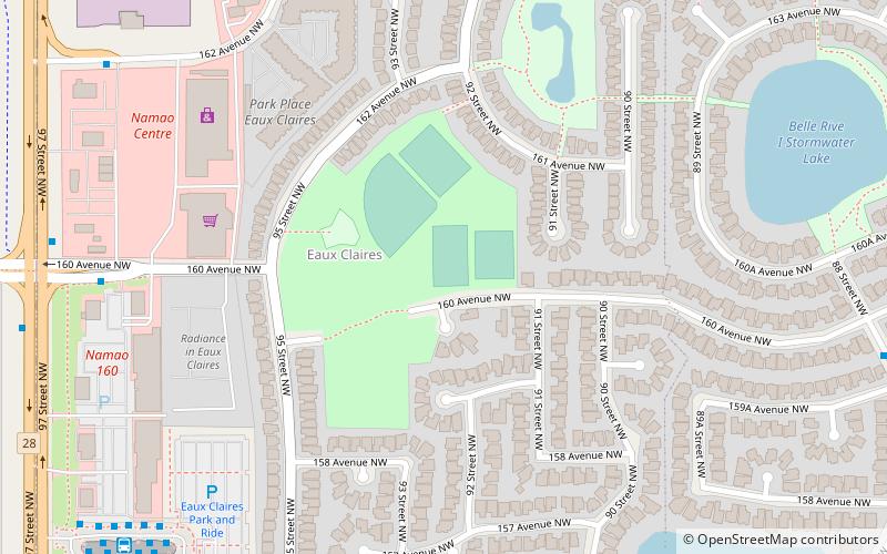
Eaux Claires is a residential neighbourhood located in north east Edmonton, Alberta, Canada. It is bounded on the north by 167 Avenue, on the west by 97 Street, and on the south by 153 Avenue. The east boundary runs along a line located between 89 Street and 90 Street. Travel north along 97 Street takes residents to CFB Edmonton while travel south along 97 Street takes residents past the Northern Alberta Institute of Technology and into the downtown core. ()
Area: 0.49 mi²Coordinates: 53°37'16"N, 113°29'2"W
Address
Northeast Edmonton (Eaux Claires)Edmonton
ContactAdd
Social media
Add
Day trips
Eaux Claires – popular in the area (distance from the attraction)
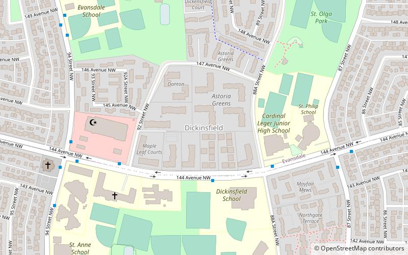
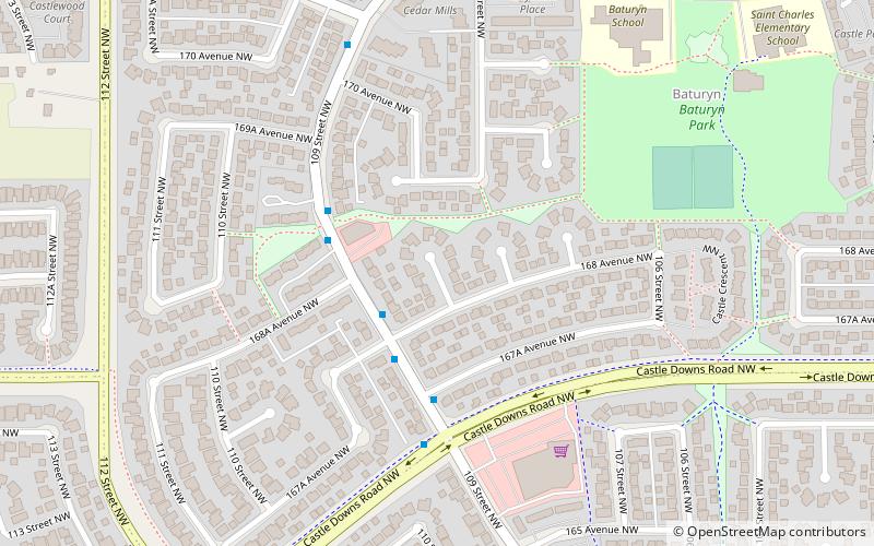
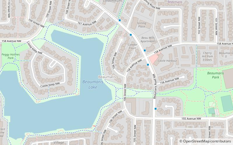
Nearby attractions include: Dickinsfield, Edmonton-Castle Downs, Edmonton-Decore, Beaumaris.
Frequently Asked Questions (FAQ)
Which popular attractions are close to Eaux Claires?
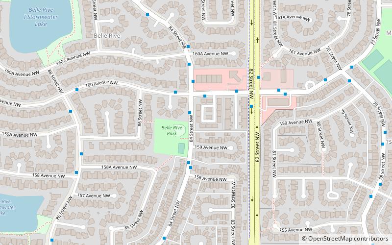
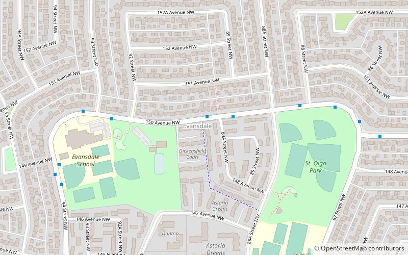
Nearby attractions include Belle Rive, Edmonton (11 min walk), Edmonton-Decore, Edmonton (15 min walk), Evansdale, Edmonton (20 min walk), Lorelei, Edmonton (22 min walk).

