Edmonton-Castle Downs, Edmonton
Map
Facts and practical information
Edmonton-Castle Downs is a provincial electoral district in Alberta, Canada. The district is one of 87 mandated to return a single member to the Legislative Assembly of Alberta using the first past the post method of voting. ()
Coordinates: 53°37'48"N, 113°30'36"W
Address
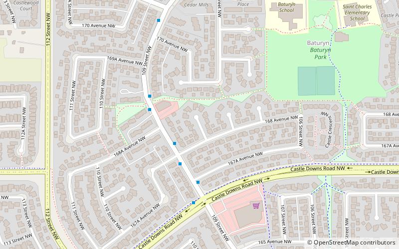
Northwest Edmonton (Baturyn)Edmonton
ContactAdd
Social media
Add
Getting there by public transportation
Public transportation stops near this location
- Bus
 Bus
Bus
- Calculate routeCastle Downs Bus Station 25 min walk
- Calculate routeCastle Downs Transit Centre 25 min walk
- Calculate routeCastle Downs Bus Terminal 25 min walk
Day trips


Frequently Asked Questions (FAQ)
Which popular attractions are close to Edmonton-Castle Downs?
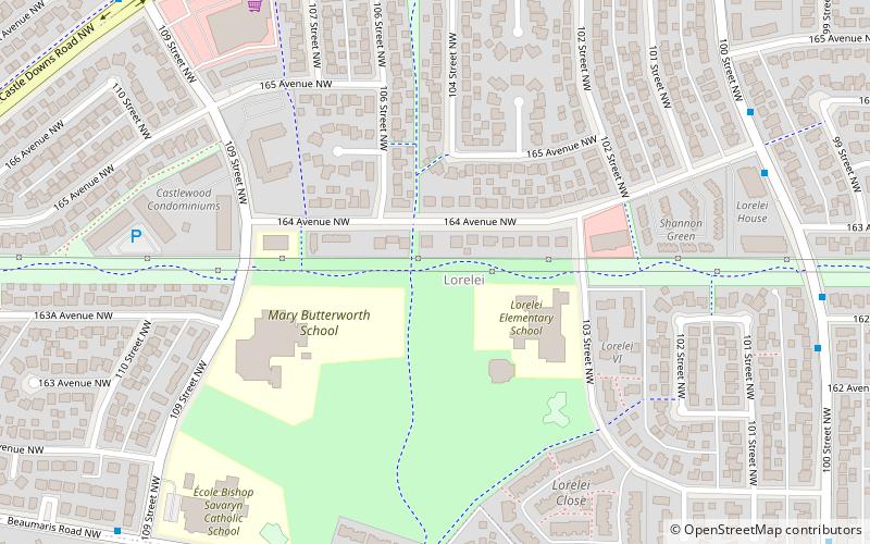
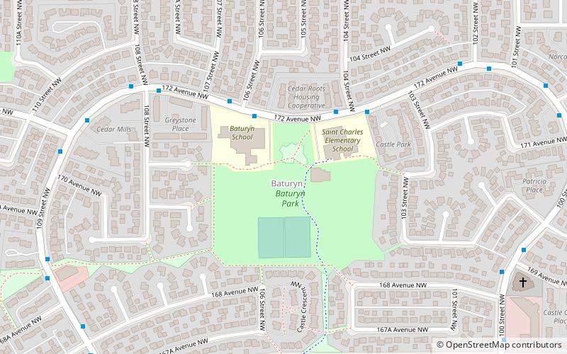
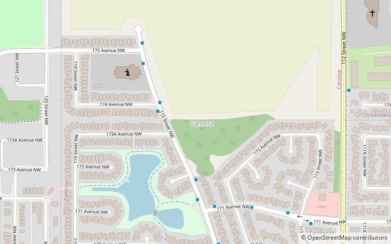
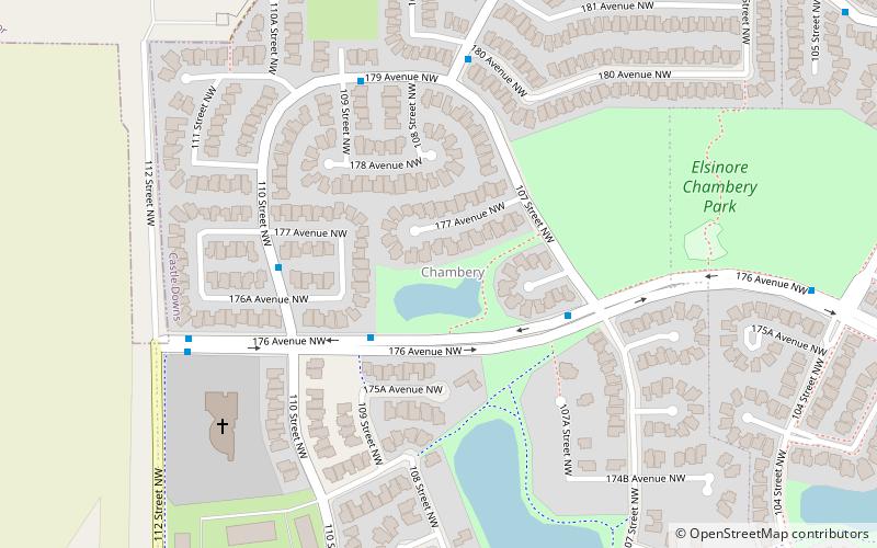
Nearby attractions include Baturyn, Edmonton (7 min walk), Lorelei, Edmonton (12 min walk), Castle Downs, Edmonton (12 min walk), Canossa, Edmonton (18 min walk).
How to get to Edmonton-Castle Downs by public transport?
The nearest stations to Edmonton-Castle Downs:
Bus
Bus
- Castle Downs Bus Station (25 min walk)
- Castle Downs Transit Centre (25 min walk)