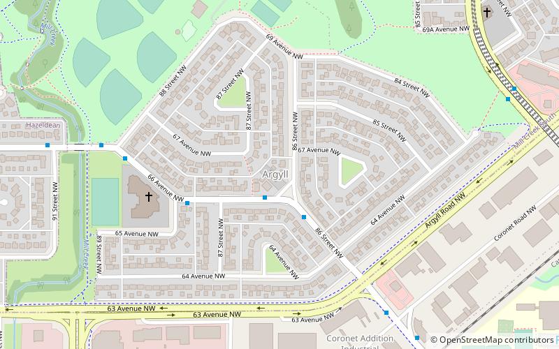
Argyll Velodrome, Edmonton
Map
Facts and practical information
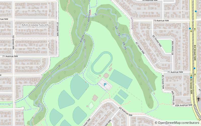
The Argyll Velodrome is an outdoor velodrome in Edmonton, Alberta, Canada. The velodrome is 333.333 m x 7 m wide with a 37 degree banked concrete surface. ()
Opened: 1977 (49 years ago)Coordinates: 53°30'26"N, 113°27'47"W
Getting there by public transportation
Public transportation stops near this location
- Bus
 Bus
Bus
- Calculate routeWhyte Ave & 89 Street 19 min walk
- Calculate route82 Ave & 91 Street 20 min walk
Day trips


Frequently Asked Questions (FAQ)
Which popular attractions are close to Argyll Velodrome?
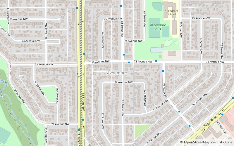
Nearby attractions include Argyll, Edmonton (9 min walk), Avonmore, Edmonton (12 min walk), Hazeldean, Edmonton (16 min walk), Ritchie, Edmonton (22 min walk).
How to get to Argyll Velodrome by public transport?
The nearest stations to Argyll Velodrome:
Bus
Bus
- Whyte Ave & 89 Street • Lines: 4, 637 (19 min walk)
- 82 Ave & 91 Street • Lines: 4, 404, 637, Strathcona County Transit (20 min walk)