Avonmore, Edmonton
Facts and practical information
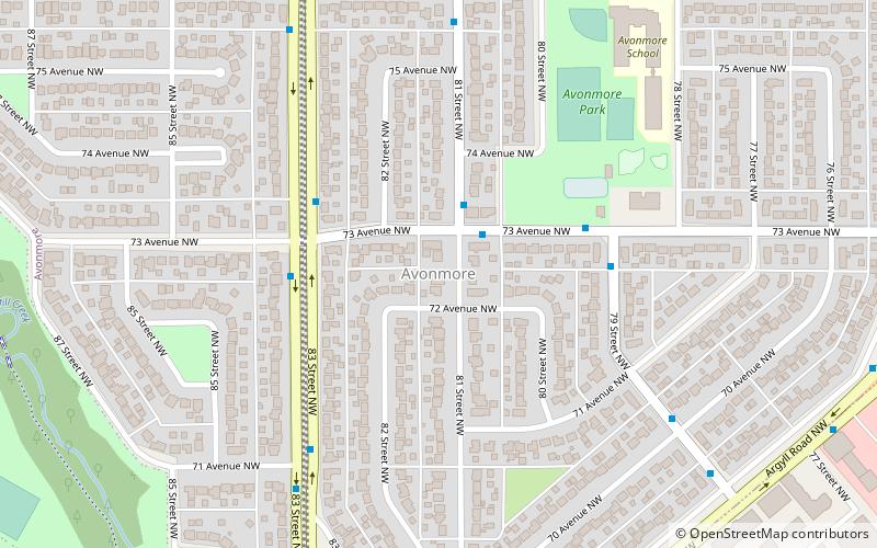
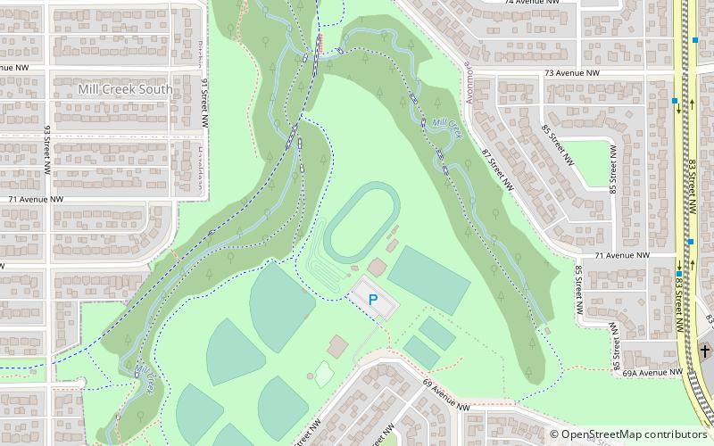
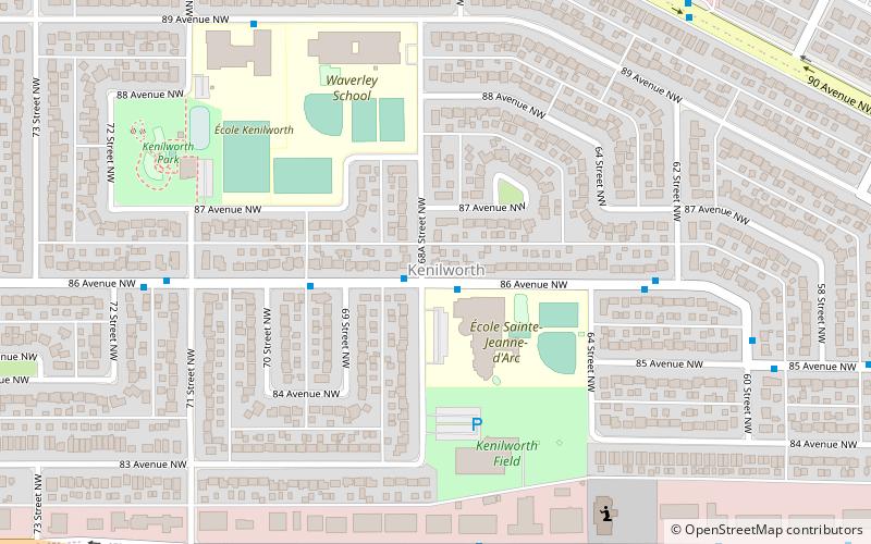
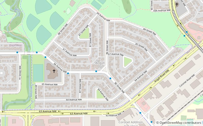
Avonmore is a residential neighbourhood in south east Edmonton, Alberta, Canada. It was named after Algernon William Yelverton, 6th Viscount Avonmore, a priest from Ireland. It is in the shape of an irregular quadrilateral bounded on the south east by Argyll Road, on the south west by Mill Creek Ravine, on the north by 76 Avenue and on the east by 75 Street. It is surrounded by a mixture of residential neighbourhoods and industrial subdivisions. To the north is the residential subdivision of King Edward Park. To the east and south east are the industrial subdivisions of Girard Industrial and Coronet Addition Industrial. Separated from Avonmore by the Mill Creek Ravine are the residential neighbourhoods of Argyll, Hazeldean and Ritchie. ()
Southeast Edmonton (Avonmore)Edmonton
- Bus
 Bus
Bus
- Calculate route82 Ave & 81 Street 16 min walk
- Calculate route82 Ave & 83 Street 17 min walk


Frequently Asked Questions (FAQ)
Which popular attractions are close to Avonmore?
How to get to Avonmore by public transport?
Bus
- 82 Ave & 81 Street • Lines: 4, 637 (16 min walk)
- 82 Ave & 83 Street • Lines: 4, 637, Strathcona County Transit (17 min walk)