Argyll, Edmonton
Map
Facts and practical information
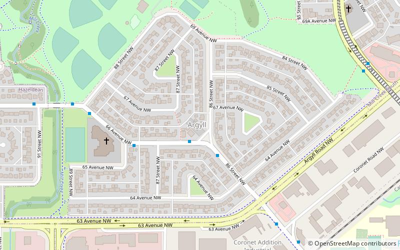
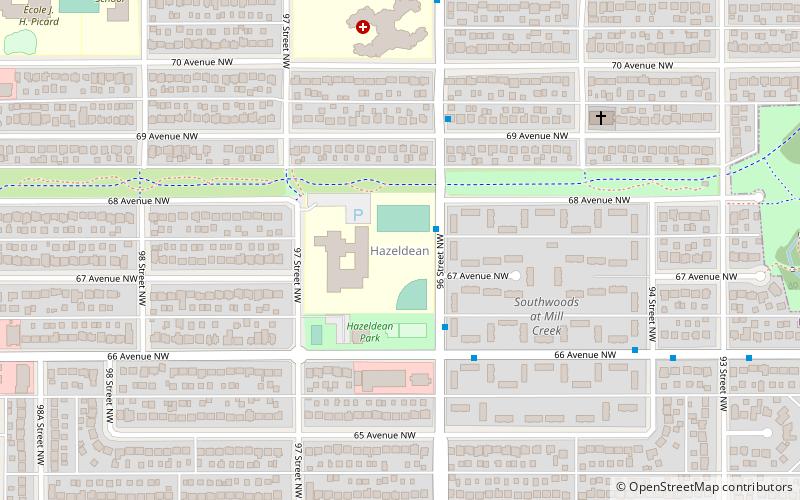
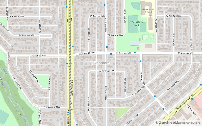
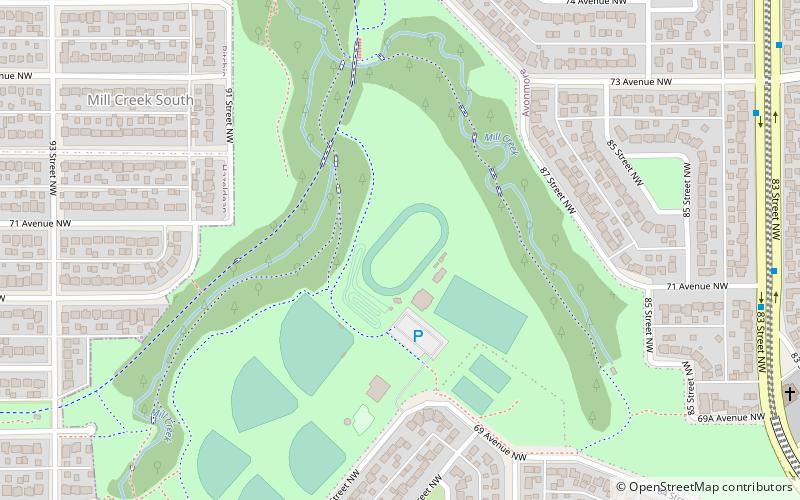
Argyll is a residential neighbourhood in Edmonton, Alberta, Canada, located on the south side of the city between the two branches of the Mill Creek Ravine. It is bounded by the ravine on the west and north east sides, and by Argyll Road on the south and south east sides. On the other side of Mill Creek Ravine are the residential neighbourhoods of Avonmore and Hazeldean. On the other side of Argyll Road is the industrial subdivision of Coronet Addition Industrial. The Argyll Sports Centre is located in the neighbourhood. ()
Area: 88.96 acres (0.139 mi²)Coordinates: 53°30'9"N, 113°27'40"W
Address
Southeast Edmonton (Argyll)Edmonton
ContactAdd
Social media
Add
Getting there by public transportation
Public transportation stops near this location
- Bus
 Bus
Bus
- Calculate route82 Ave & 87 Street 28 min walk
- Calculate routeWhyte Ave & 89 Street 28 min walk
Day trips


Frequently Asked Questions (FAQ)
Which popular attractions are close to Argyll?
Nearby attractions include Argyll Velodrome, Edmonton (9 min walk), Avonmore, Edmonton (15 min walk), Hazeldean, Edmonton (18 min walk).
How to get to Argyll by public transport?
The nearest stations to Argyll:
Bus
Bus
- 82 Ave & 87 Street • Lines: 4, 637 (28 min walk)
- Whyte Ave & 89 Street • Lines: 4, 637 (28 min walk)