Castle Downs, Edmonton
Facts and practical information
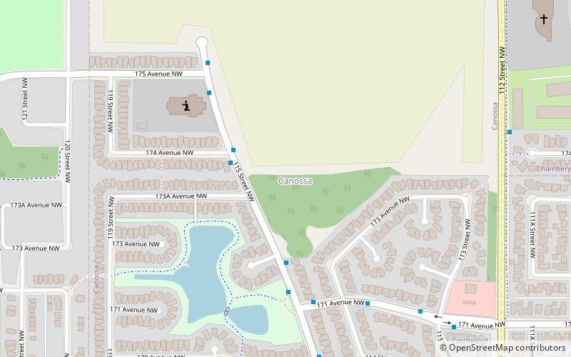
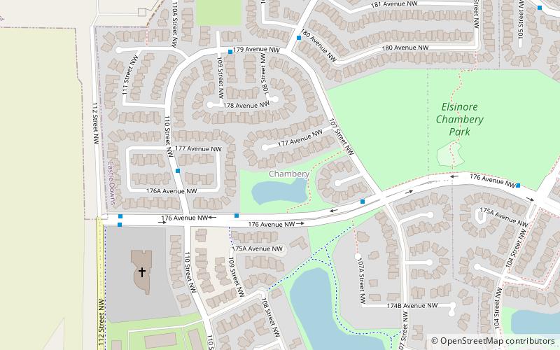
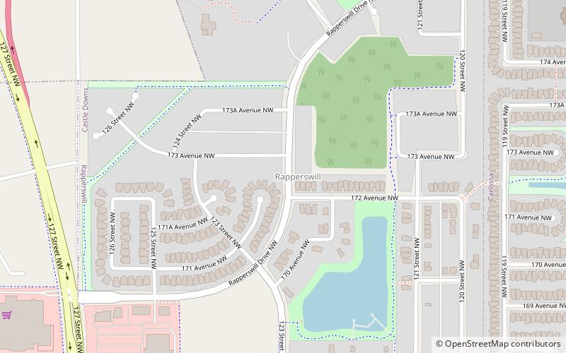
Castle Downs is a residential area in the northwest portion of the City of Edmonton in Alberta, Canada. The area was originally to be called Athabasca Downs, but when the city rejected the name, the developer used their second choice: Castle Downs. The names of the communities were based on European castles, and Castle Downs became the first area in Edmonton to be named in a thematic way. According to former Names Committee secretary Nancy Diettrich “The castles were chosen to recognize the different ethnic groups in the area.” It was originally established in 1971 through Edmonton City Council's adoption of the Castle Downs Outline Plan, and then extended northward in 1983 through the adoption of the Caste Downs Extension Area Structure Plan. Combined, these two plans guide the overall development of the area. ()
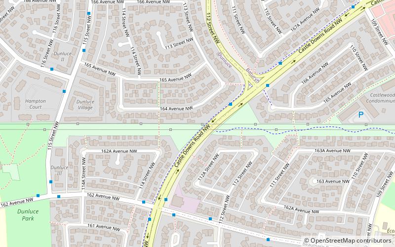
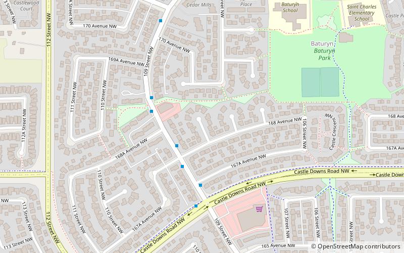
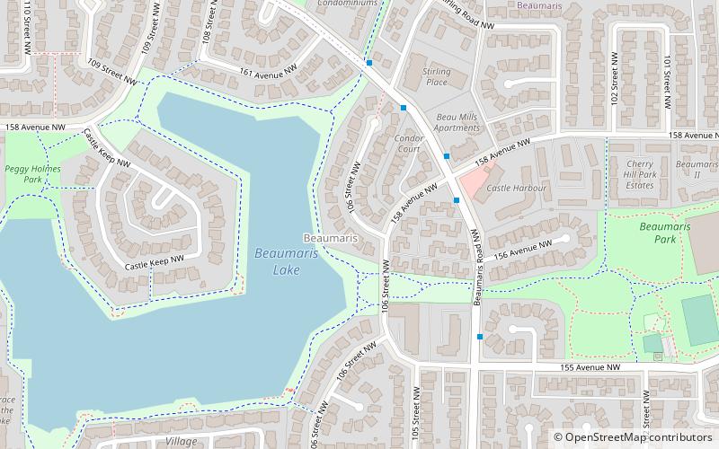
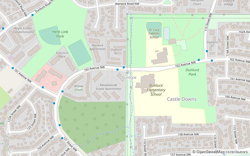
Northwest Edmonton (Dunluce)Edmonton
- Bus
 Bus
Bus
- Calculate routeCastle Downs Bus Station 15 min walk
- Calculate routeCastle Downs Transit Centre 15 min walk
- Calculate routeCastle Downs Bus Terminal 15 min walk
Frequently Asked Questions (FAQ)
Which popular attractions are close to Castle Downs?
How to get to Castle Downs by public transport?
Bus
- Castle Downs Bus Station (15 min walk)
- Castle Downs Transit Centre (15 min walk)