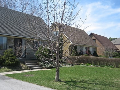
Don Mills Trail, Toronto
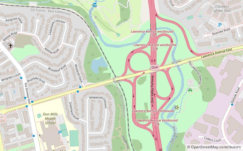
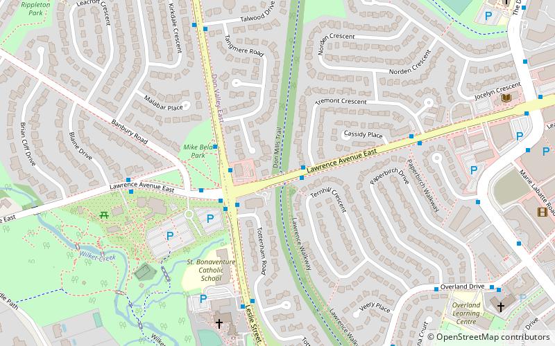
Map
Gallery
Facts and practical information
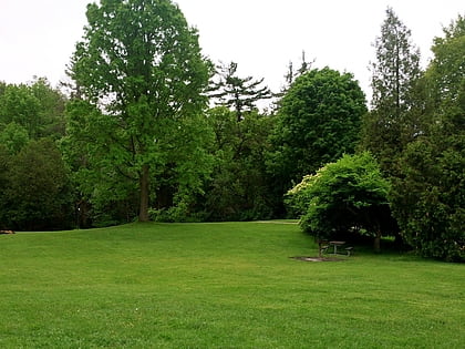
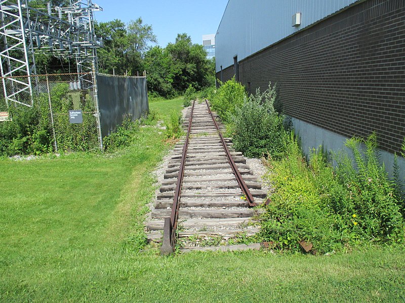
The Don Mills Trail is a 3-kilometre cycling and walking trail in Toronto, Ontario, Canada. The trail runs south from York Mills Road, east of and roughly parallel to Leslie Street. The city built the trail on the roadbed of a former railway line, known as the Leaside Spur. ()
Season: All yearElevation: 463 ft a.s.l.Coordinates: 43°44'6"N, 79°21'16"W
Address
North York (Don Mills)Toronto
ContactAdd
Social media
Add
Day trips
Don Mills Trail – popular in the area (distance from the attraction)
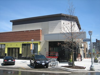
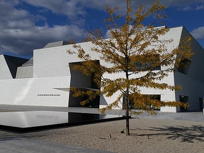
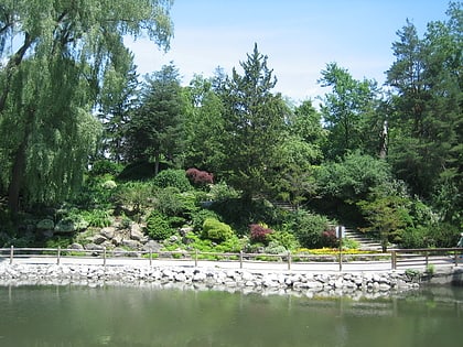
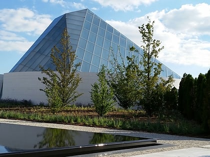
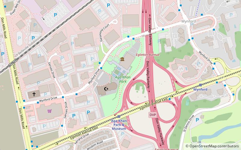
Nearby attractions include: Sunnybrook Park, Shops at Don Mills, Aga Khan Museum, Toronto Botanical Garden.
Frequently Asked Questions (FAQ)
Which popular attractions are close to Don Mills Trail?
Nearby attractions include Toronto Botanical Garden, Toronto (6 min walk), Edwards Gardens and the Toronto Botanical Gardens, Toronto (8 min walk), Don Mills, Toronto (15 min walk), Sunnybrook Park, Toronto (23 min walk).
How to get to Don Mills Trail by public transport?
The nearest stations to Don Mills Trail:
Bus
Bus
- Tremont Crescent • Lines: 54A, 54B (2 min walk)
- Lawrence Avenue East North Side • Lines: 51 (2 min walk)
 Subway
 Streetcar system
 PATH
PATH
