Edwards Gardens and the Toronto Botanical Gardens, Toronto
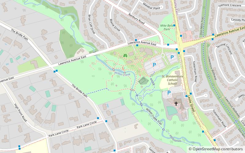
Map
Map

Facts and practical information
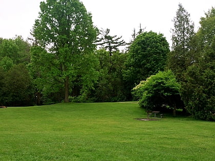
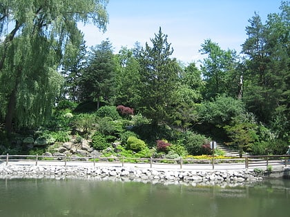
Edwards Gardens is a botanical garden located on the southwest corner of Leslie Street and Lawrence Avenue East in Toronto, Ontario, Canada. It is also the site of the Toronto Botanical Garden, a private not-for profit organization previously called the Civic Garden Centre. ()
Created: 1956Elevation: 420 ft a.s.l.Coordinates: 43°43'59"N, 79°21'36"W
Day trips
Edwards Gardens and the Toronto Botanical Gardens – popular in the area (distance from the attraction)
Nearby attractions include: Ontario Science Centre, Sunnybrook Park, Shops at Don Mills, Toronto Botanical Garden.
Frequently Asked Questions (FAQ)
Which popular attractions are close to Edwards Gardens and the Toronto Botanical Gardens?
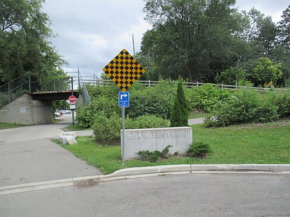
Nearby attractions include Toronto Botanical Garden, Toronto (4 min walk), Don Mills Trail, Toronto (8 min walk), Sunnybrook Park, Toronto (17 min walk), Don Mills, Toronto (23 min walk).
How to get to Edwards Gardens and the Toronto Botanical Gardens by public transport?
The nearest stations to Edwards Gardens and the Toronto Botanical Gardens:
Bus
Bus
- Lawrence Avenue East • Lines: 51, 54A, 54B (6 min walk)
- 1300 Leslie Street • Lines: 51, 54A, 54B (6 min walk)
 Subway
 Streetcar system
 PATH
PATH

