Capitol Hill, Burnaby
Map

Gallery

Facts and practical information
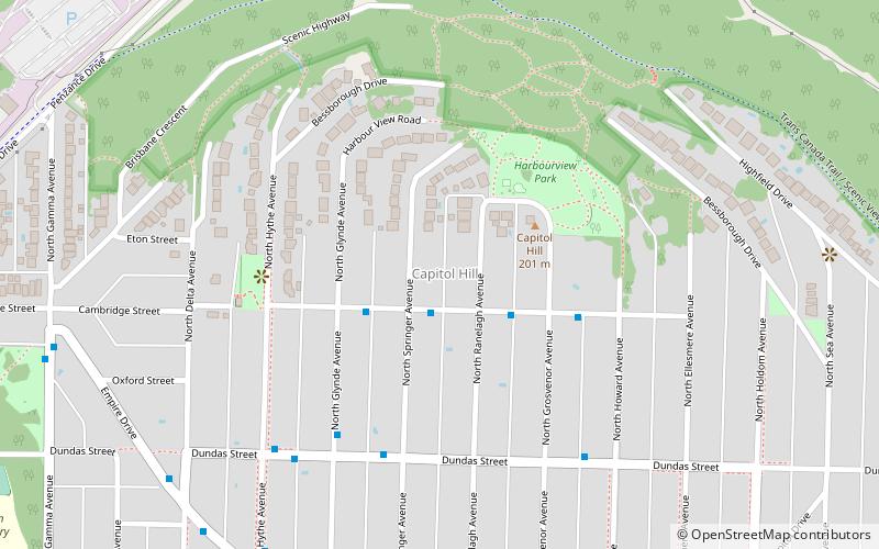
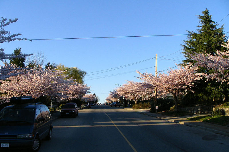
Capitol Hill elev. 203m, is a hill in the city of Burnaby, British Columbia, Canada, and also is the name of the neighbourhood spanning the summit of the hill. Standing on the north side of Hastings Street and bounded by Willingdon Avenue to the west and Fell Avenue in the east, this neighbourhood is known for its Italian, Portuguese, and Croatian expat communities as well as being a student area associated with the nearby Simon Fraser University. ()
Coordinates: 49°17'12"N, 122°59'13"W
Address
Capitol HillBurnaby
ContactAdd
Social media
Add
Day trips
Capitol Hill – popular in the area (distance from the attraction)
Nearby attractions include: Burnaby Central Railway, Kensington Park, Parkcrest, Willingdon Heights.
Frequently Asked Questions (FAQ)
How to get to Capitol Hill by public transport?
The nearest stations to Capitol Hill:
Bus
Bus
- Cambridge St at North Springer Ave • Lines: 132 (1 min walk)


