Kensington Park, Burnaby
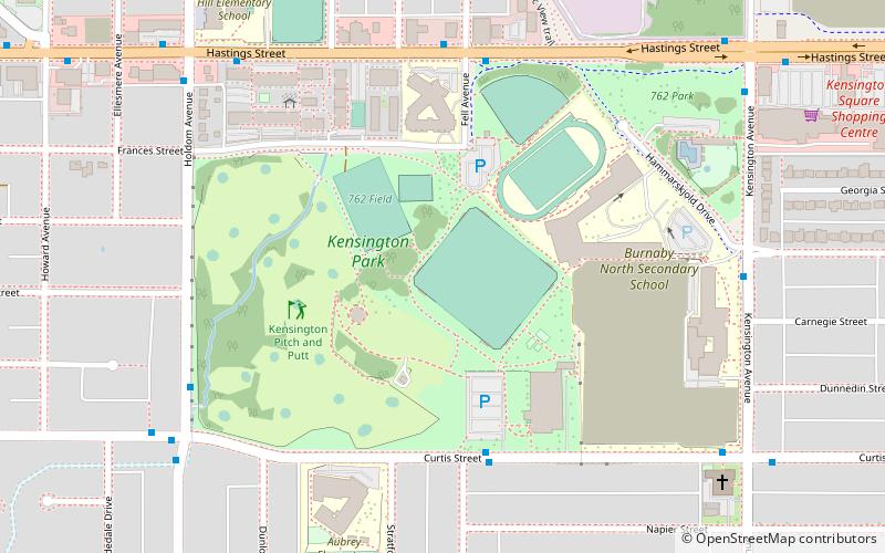
Map
Gallery
Facts and practical information
Elevation: 361 ft a.s.l.Coordinates: 49°16'39"N, 122°58'34"W
Day trips
Kensington Park – popular in the area (distance from the attraction)
Nearby attractions include: Brentwood Town Centre, Burnaby Central Railway, Central Valley Greenway, Parkcrest.
Frequently Asked Questions (FAQ)
Which popular attractions are close to Kensington Park?
Nearby attractions include Parkcrest, Burnaby (10 min walk), Capitol Hill, Burnaby (21 min walk), North Burnaby, Burnaby (21 min walk), Sullivan Heights, Burnaby (22 min walk).
How to get to Kensington Park by public transport?
The nearest stations to Kensington Park:
Bus
Metro
Bus
- Curtis St at Fell Ave • Lines: 134 (5 min walk)
- Hastings St at Fell Ave • Lines: 160 (6 min walk)
Metro
- Holdom • Lines: Millennium Line (24 min walk)
- Brentwood Town Centre • Lines: Millennium Line (36 min walk)


