Parkcrest, Burnaby
Map
Gallery
Facts and practical information
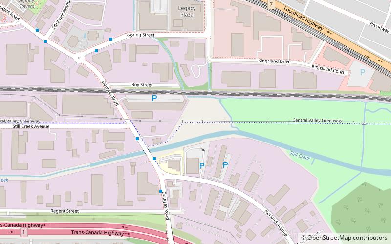
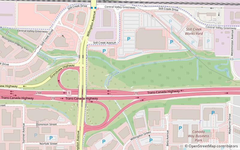
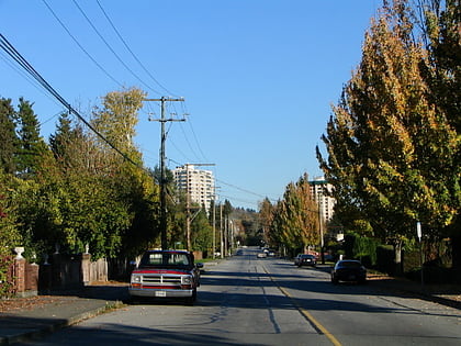
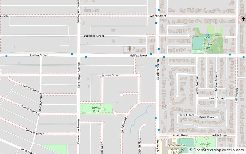
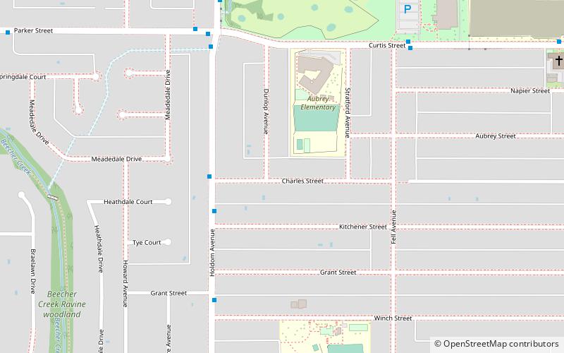
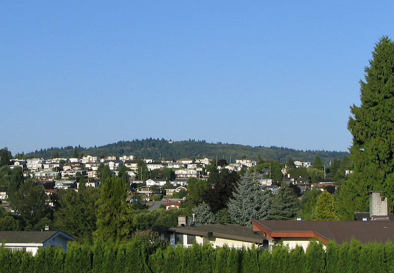
Parkcrest is a hillside neighbourhood in North Burnaby adjacent to Kensington Park which gave it its name. It has a long rectangular shape stretched north to south and is bounded by Springer Avenue to the west and Kensington Avenue to the east. To the north its border runs along Hastings Street, its southern border lies along the Lougheed Highway and Skytrain tracks. Its elevation gradually lowers to the south and ends up in Central Valley, quite low above the level of Burnaby Lake. ()
Coordinates: 49°16'21"N, 122°58'44"W
Address
Parkcrest-AubreyBurnaby
ContactAdd
Social media
Add
Day trips
Parkcrest – popular in the area (distance from the attraction)
Nearby attractions include: Brentwood Town Centre, Burnaby Central Railway, Kensington Park, Central Valley Greenway.
Frequently Asked Questions (FAQ)
Which popular attractions are close to Parkcrest?
Nearby attractions include Kensington Park, Burnaby (10 min walk), North Burnaby, Burnaby (12 min walk), Sullivan Heights, Burnaby (17 min walk).
How to get to Parkcrest by public transport?
The nearest stations to Parkcrest:
Bus
Metro
Bus
- Holdom Ave at Charles • Lines: 129 (3 min walk)
Metro
- Holdom • Lines: Millennium Line (15 min walk)
- Brentwood Town Centre • Lines: Millennium Line (29 min walk)


