Chinatown, Lethbridge
Map
Facts and practical information
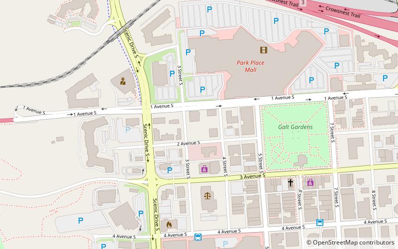
Lethbridge's Chinatown is a small district in downtown Lethbridge, Alberta, Canada. At the beginning of the 20th century, the district had a population of around 100 and businesses consisted of six laundries, four grocers and two restaurants. While the bulk of residences and businesses were focused along the 300 block of Ford Street — what is now modern Chinatown — this area was the centre of a much larger nine-block area. ()
Coordinates: 49°41'50"N, 112°50'35"W
Address
Downtown LethbridgeLethbridge
ContactAdd
Social media
Add
Day trips


Frequently Asked Questions (FAQ)
Which popular attractions are close to Chinatown?
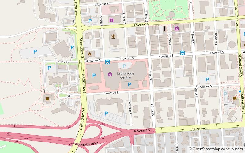
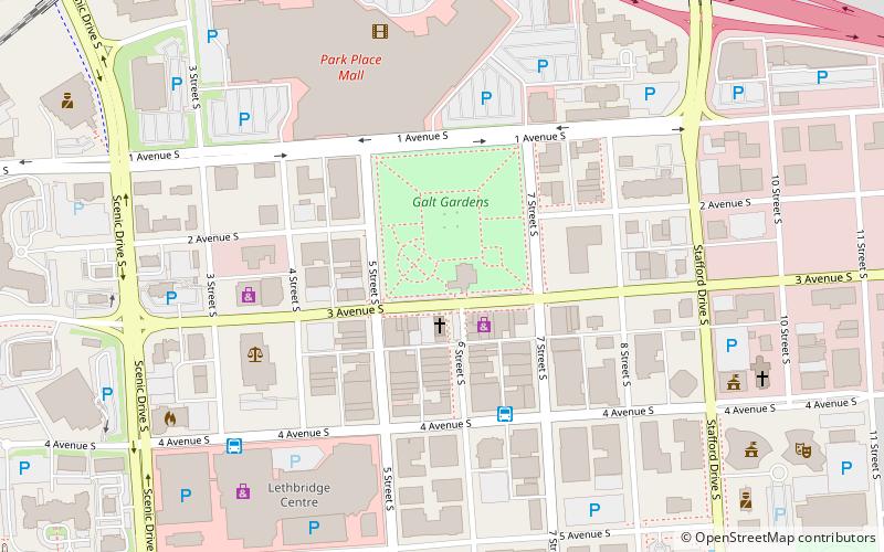
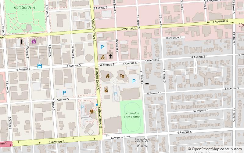
Nearby attractions include Downtown Lethbridge, Lethbridge (4 min walk), Galt Museum & Archives, Lethbridge (4 min walk), Galt Gardens, Lethbridge (5 min walk), Southern Alberta Art Gallery, Lethbridge (5 min walk).