Sir Isaac Brock Bridge, Toronto
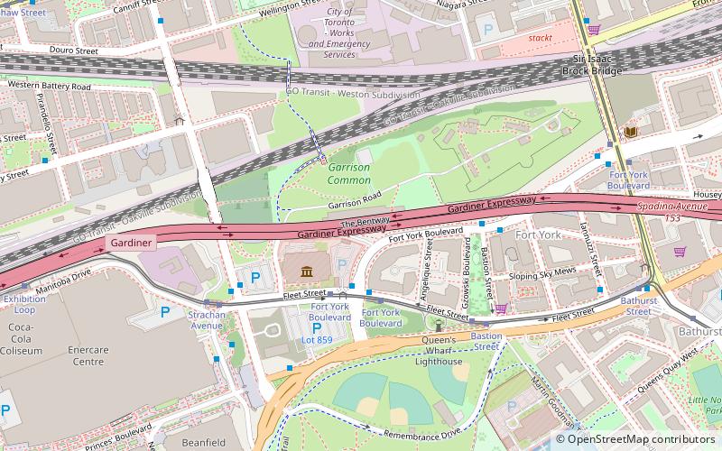
Map
Gallery
Facts and practical information
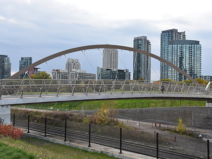
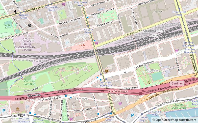
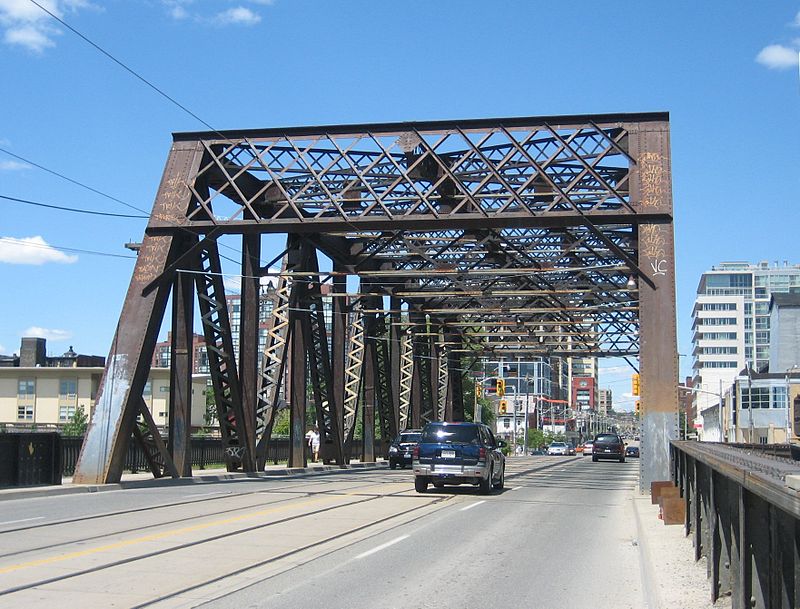
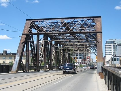
The Sir Isaac Brock Bridge is a steel Warren truss bridge in Toronto, Ontario, Canada. It lies along Bathurst Street over the railway tracks between Front Street and Fort York Boulevard. The bridge carries four lanes for motor vehicles with the centre lanes containing the streetcar tracks of the Toronto Transit Commission's 511 Bathurst streetcar route. ()
Coordinates: 43°38'23"N, 79°24'4"W
Day trips
Sir Isaac Brock Bridge – popular in the area (distance from the attraction)
Nearby attractions include: Bovine Sex Club, Rogers Centre, Burroughes Building, Martin Goodman Trail.
Frequently Asked Questions (FAQ)
Which popular attractions are close to Sir Isaac Brock Bridge?
Nearby attractions include Fort York, Toronto (2 min walk), Victoria Memorial Square, Toronto (6 min walk), Draper Street, Toronto (6 min walk), Canoe Landing Park, Toronto (6 min walk).
How to get to Sir Isaac Brock Bridge by public transport?
The nearest stations to Sir Isaac Brock Bridge:
Tram
Bus
Ferry
Train
Metro
Tram
- Fort York Boulevard • Lines: 511 (2 min walk)
- Niagara Street • Lines: 511 (5 min walk)
Bus
- Fleet Street • Lines: 363 (11 min walk)
- Canniff Street • Lines: 363, 63 (15 min walk)
Ferry
- Bathurst Street Terminal • Lines: Billy Bishop Airport Ferry (12 min walk)
- Billy Bishop Terminal • Lines: Billy Bishop Airport Ferry (15 min walk)
Train
- Exhibition (24 min walk)
- Toronto Union Station (28 min walk)
Metro
- St. Andrew • Lines: 1 (25 min walk)
- Osgoode • Lines: 1 (27 min walk)
 Subway
 Streetcar system
 PATH
PATH