Canada's Walk of Fame, Toronto

Gallery (7)
Map

Map

Gallery
Facts and practical information
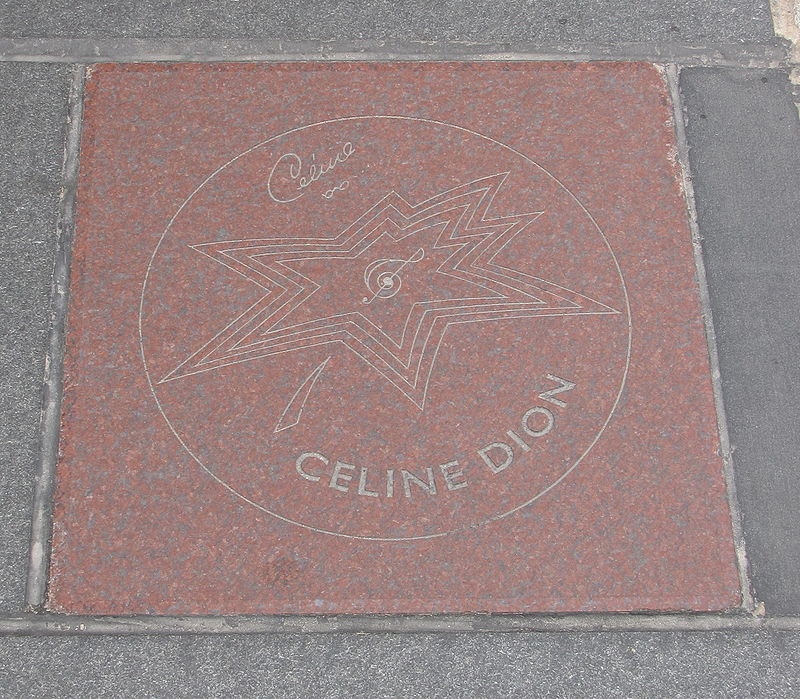
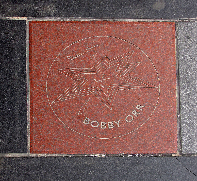
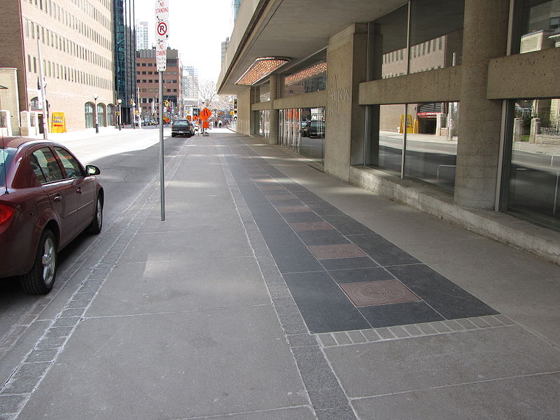
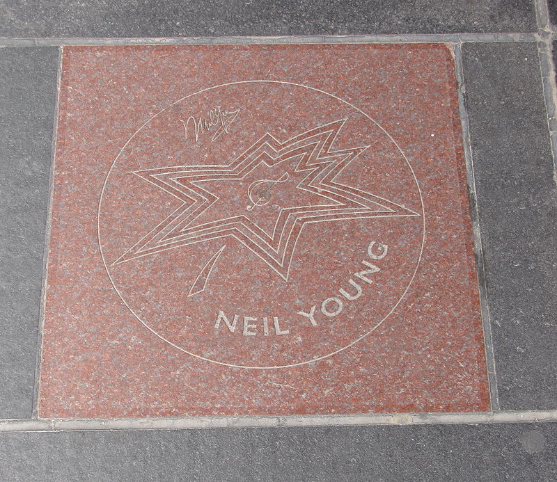
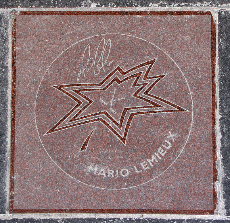
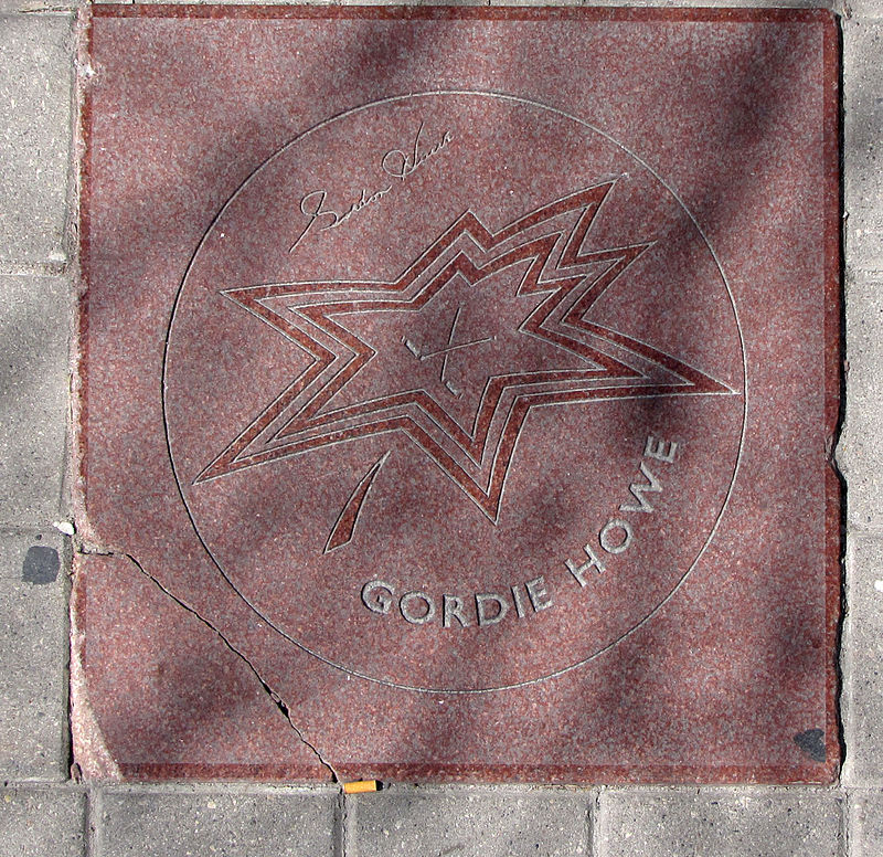
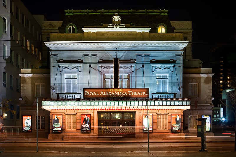
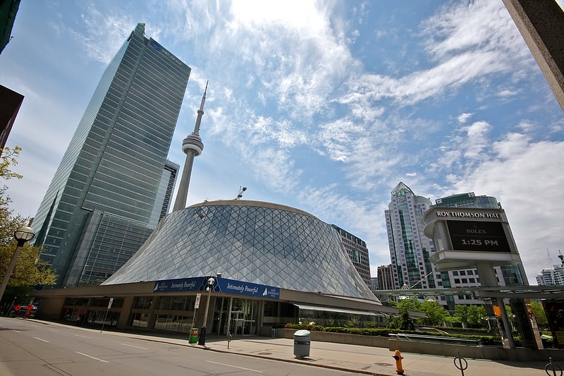
Canada's Walk of Fame in Toronto, Ontario, Canada, is a walk of fame that acknowledges the achievements and accomplishments of Canadians who have excelled in their respective fields. It is a series of maple leaf-like stars embedded in 13 designated blocks' worth of sidewalks in Toronto in front of Roy Thomson Hall, The Princess of Wales Theatre, and The Royal Alexandra Theatre on King Street as well as Simcoe Street. ()
Getting there by public transportation
Public transportation stops near this location
- Metro
- Bus
- Tram
- Train
- Ferry
 Metro
Metro
- Calculate routeJohn Street 5 min walk
- Calculate routeUniversity Avenue, St. Andrew Station 3 min walk
- Calculate routeKing Street West 5 min walk
- Calculate routeSt. Andrew 3 min walk
- Calculate routeOsgoode 7 min walk
- Calculate routeUnion 9 min walk
- Calculate routeKing 13 min walk
- Calculate routeKing Street West 10 min walk
- Calculate routeAdelaide Street West 10 min walk
- Calculate routeFront Street West 11 min walk
- Calculate routeToronto Union Station 10 min walk
- Calculate routeJack Layton Ferry Terminal 20 min walk
- Calculate routeBathurst Street Terminal 27 min walk
- Calculate routeBilly Bishop Terminal 29 min walk
Maps SubwayMaps
 Streetcar systemMaps
 PATH
PATH
SubwayMapsStreetcar systemMapsPATHDay trips
Canada's Walk of Fame – popular in the area (distance from the attraction)
Nearby attractions include: First Canadian Place, Campbell House, St. Patrick's Market, Sun Life Centre.


Frequently Asked Questions (FAQ)
Which popular attractions are close to Canada's Walk of Fame?
Nearby attractions include Toronto Entertainment District, Toronto (1 min walk), Royal Alexandra Theatre, Toronto (1 min walk), Roy Thomson Hall, Toronto (2 min walk), Simcoe Place, Toronto (2 min walk).
How to get to Canada's Walk of Fame by public transport?
The nearest stations to Canada's Walk of Fame:
Tram
Metro
Bus
Train
Ferry
Tram
- John Street • Lines: 504A, 504B (5 min walk)
- University Avenue, St. Andrew Station • Lines: 504A, 504B (3 min walk)
Metro
- St. Andrew • Lines: 1 (3 min walk)
- Osgoode • Lines: 1 (7 min walk)
Bus
- King Street West • Lines: 19 (10 min walk)
- Adelaide Street West • Lines: 19 (10 min walk)
Train
- Toronto Union Station (10 min walk)
Ferry
- Jack Layton Ferry Terminal • Lines: Toronto Island Ferry, Ward's Island (20 min walk)
- Bathurst Street Terminal • Lines: Billy Bishop Airport Ferry (27 min walk)