Chinatown, Toronto
Map
Gallery
Facts and practical information
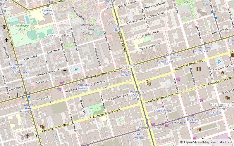
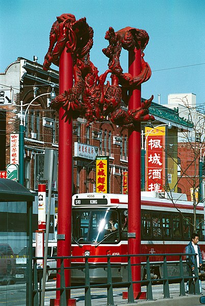
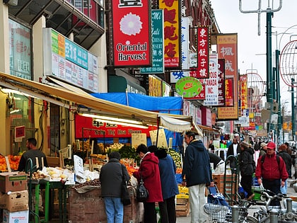
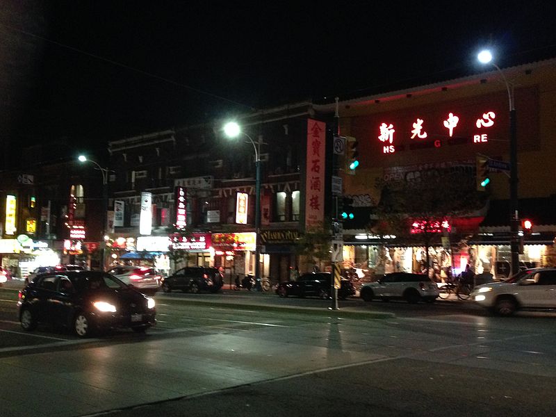
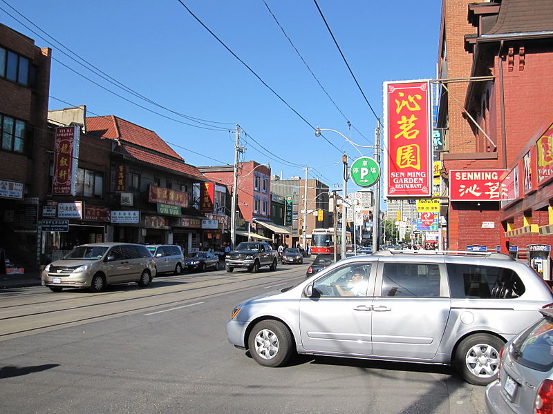
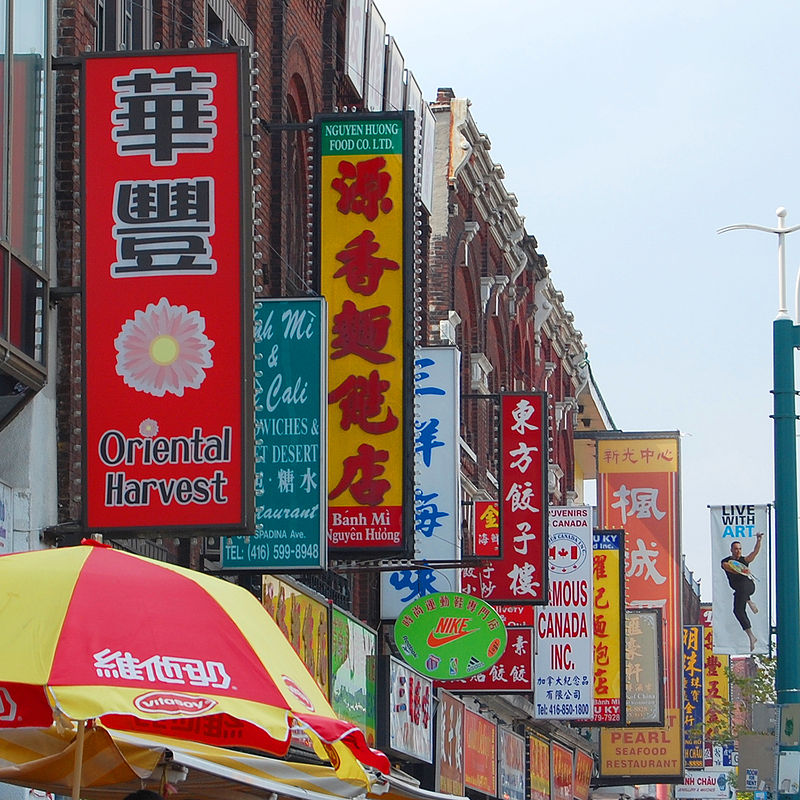
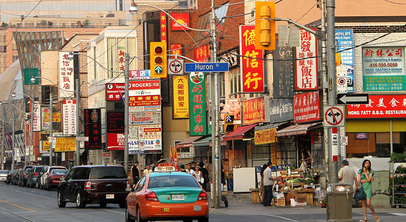
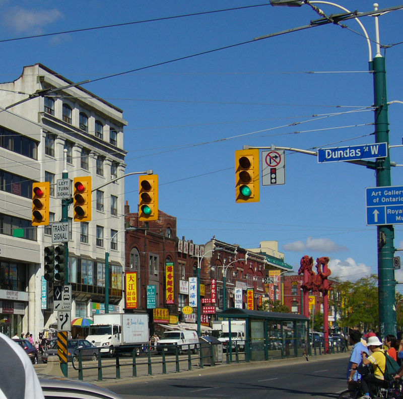
Chinatown, Toronto known also as Downtown Chinatown or West Chinatown is a Chinese ethnic enclave located in the city's downtown core of Toronto, Ontario, Canada. It is centred at the intersections of Spadina Avenue and Dundas Street, West. ()
Address
Dundas St W between Spadina Ave and Beverly StDowntown Toronto (Grange Park)Toronto
ContactAdd
Social media
Add
Day trips
Chinatown – popular in the area (distance from the attraction)
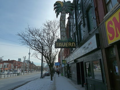
Nearby attractions include: Art Gallery of Ontario, El Mocambo, OCAD University, St. Patrick's Market.
Frequently Asked Questions (FAQ)
Which popular attractions are close to Chinatown?
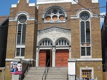
Nearby attractions include Standard Theatre, Toronto (1 min walk), Anshei Minsk, Toronto (4 min walk), Carlos Bulosan Theatre, Toronto (5 min walk), Videofag, Toronto (5 min walk).
How to get to Chinatown by public transport?
The nearest stations to Chinatown:
Tram
Metro
Bus
Train
Ferry
Tram
- Spadina Avenue • Lines: 505 (2 min walk)
- Dundas Street West • Lines: 510A, 510B, 510C (2 min walk)
Metro
- St. Patrick • Lines: 1 (13 min walk)
- Osgoode • Lines: 1 (15 min walk)
Bus
- Dundas Street West • Lines: 19 (19 min walk)
- Spadina Avenue • Lines: 94A (19 min walk)
Train
- Toronto Union Station (27 min walk)
Ferry
- Jack Layton Ferry Terminal • Lines: Toronto Island Ferry, Ward's Island (37 min walk)


 Subway
 Streetcar system
 PATH
PATH
