Eglinton Park, Toronto
Map
Map

Facts and practical information
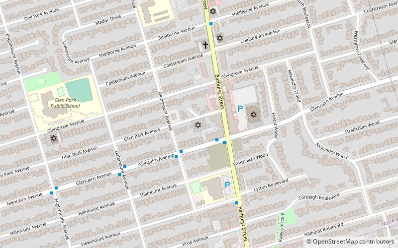
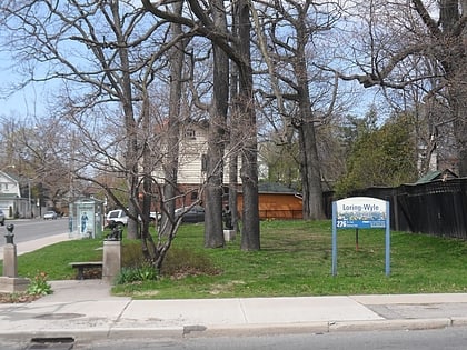
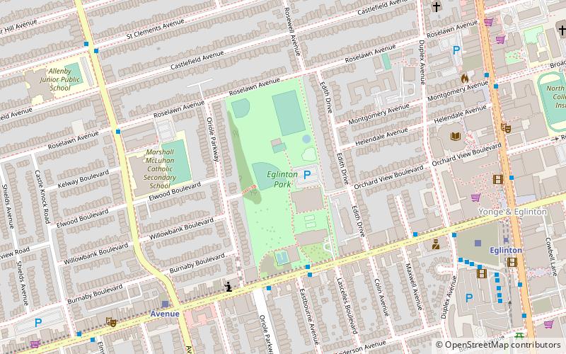
Eglinton Park is a public park located in the North Toronto neighbourhood of Toronto, Ontario, Canada, a few blocks west of the Eglinton Subway Station. It is bounded on the south end by Eglinton Avenue West, on the north by Roselawn Aveunue. The other two sides of the park have houses backing onto the park; Oriole Parkway on the west side, and Edith Drive on the east. ()
Created: 1926Elevation: 512 ft a.s.l.Coordinates: 43°42'27"N, 79°24'19"W
Day trips
Eglinton Park – popular in the area (distance from the attraction)
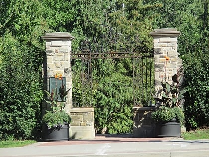
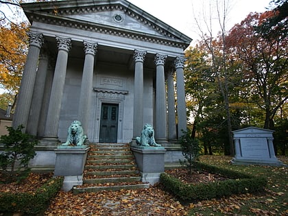
Nearby attractions include: Alexander Muir Memorial Gardens, Mount Pleasant Cemetery, Beltline Trail, Mount Hope Catholic Cemetery.
Frequently Asked Questions (FAQ)
Which popular attractions are close to Eglinton Park?
Nearby attractions include St. James-Bond Church, Toronto (7 min walk), Yonge-Eglinton Centre, Toronto (8 min walk), Canada Square Complex, Toronto (8 min walk), Yonge–Eglinton, Toronto (9 min walk).
How to get to Eglinton Park by public transport?
The nearest stations to Eglinton Park:
Bus
Metro
Bus
- Eglinton Avenue West • Lines: 51, 54A, 54B (7 min walk)
- Eglinton (10 min walk)
Metro
- Eglinton • Lines: 1 (9 min walk)
- Davisville • Lines: 1 (20 min walk)
 Subway
 Streetcar system
 PATH
PATH