Ormsby Place, Edmonton
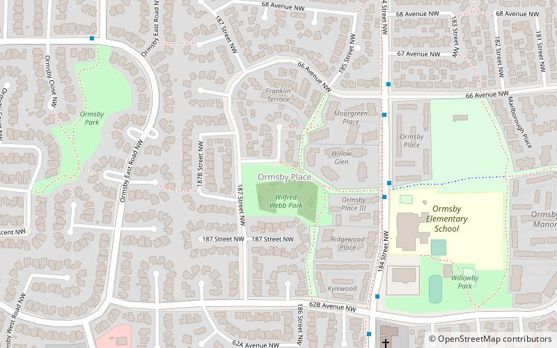
Map
Facts and practical information
Area: 0.52 mi²Coordinates: 53°29'57"N, 113°38'35"W
Address
West Edmonton (Ormsby Place)Edmonton
ContactAdd
Social media
Add
Getting there by public transportation
Public transportation stops near this location
- Bus
 Bus
Bus
- Calculate routeOrmsby West Road & 188 Street 8 min walk
- Calculate route188 Street & Callingwood Road 9 min walk
- Calculate routeCallingwood Road & 188 Street 10 min walk
- Calculate route66 Ormsby West Road 11 min walk
Day trips


Frequently Asked Questions (FAQ)
Which popular attractions are close to Ormsby Place?
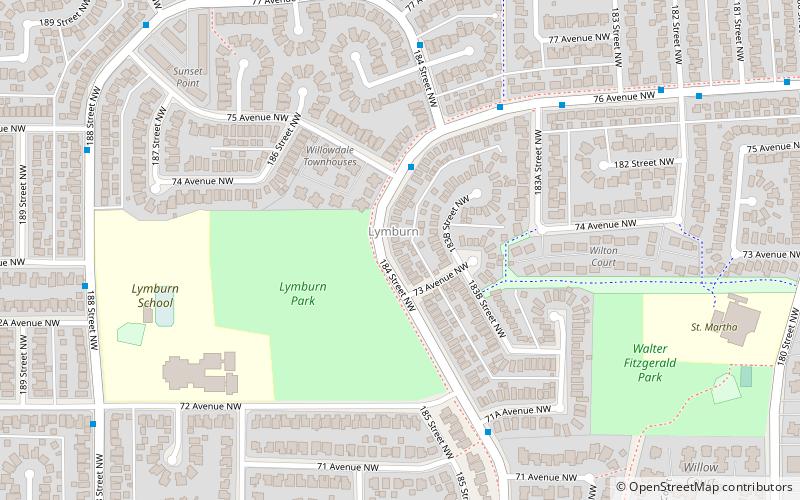
Nearby attractions include Lymburn, Edmonton (15 min walk), Dechene, Edmonton (16 min walk), Jamieson Place, Edmonton (19 min walk), Callingwood South, Edmonton (23 min walk).
How to get to Ormsby Place by public transport?
The nearest stations to Ormsby Place:
Bus
Bus
- Ormsby West Road & 188 Street • Lines: 917 (8 min walk)
- 188 Street & Callingwood Road • Lines: 917 (9 min walk)