Sunridge Ski Area, Sherwood Park
#7 among attractions in Sherwood Park
Facts and practical information
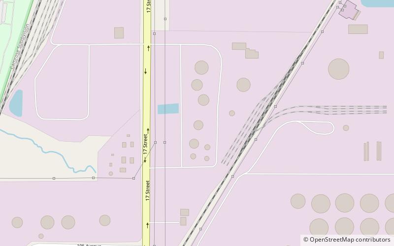
Sunridge Ski Area is a ski area located off of 17 Street in Edmonton, Alberta. It is built on the bank of the North Saskatchewan River. ()
Sherwood Park Canada
Sunridge Ski Area – popular in the area (distance from the attraction)
Nearby attractions include: Ottewell, Strathcona Science Provincial Park, Rundle Park, Gold Bar Park.
 Shopping, Shopping centre
Ottewell, Edmonton
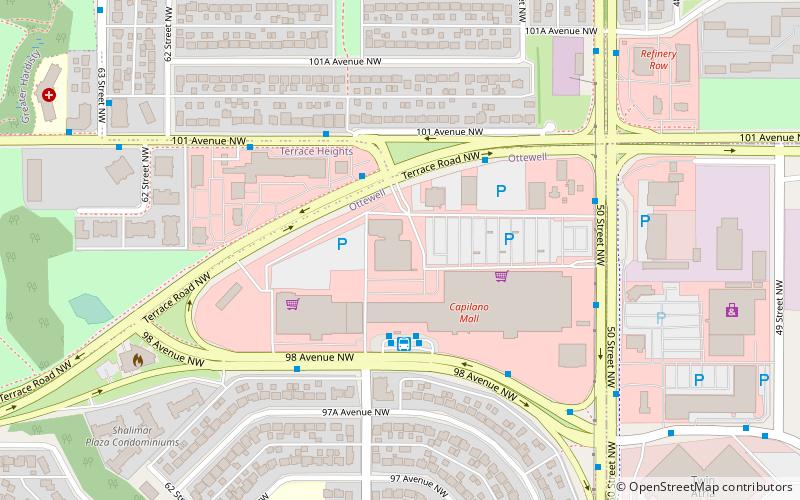
62 min walk • Nestled within the mature and vibrant community of Ottewell, the Capilano Mall stands as a central shopping destination for Edmontonians seeking a blend of convenience and variety. This suburban shopping centre, located in the southeastern part of Edmonton, Canada, is...
 Archaeological site
Strathcona Science Provincial Park, Sherwood Park
19 min walk • Strathcona Science Provincial Park is a provincial park in Alberta, Canada, located between Edmonton and Sherwood Park, south of the Yellowhead Highway and west of Anthony Henday Drive.
 Park
ParkRundle Park, Edmonton
29 min walk • Nestled within the picturesque landscape of Edmonton, Canada, Rundle Park stands as a testament to the city's commitment to providing residents and visitors with an expansive green space for recreation and relaxation. This verdant oasis offers a tranquil retreat from...
 Park
ParkGold Bar Park, Edmonton
42 min walk • Gold Bar Park is a municipal park in Edmonton, Alberta, Canada, and is part of the North Saskatchewan River valley parks system. The park features numerous small ponds and paved paths. A municipal waste water treatment plant is located right south of the park.
 53°31'45"N • 113°18'29"W
Broadmoor Public Golf Course, Sherwood Park
72 min walk • Outdoor activities, Field, Golf
 Bridge
Clover Bar Bridge, Edmonton
39 min walk • Clover Bar Bridge and Beverly Bridge are a pair of bridges that span the North Saskatchewan River in the city of Edmonton, Alberta, Canada.
 Library
Simona Maaskant Library, Edmonton
69 min walk • The Simona Maaskant Library is the library at the King's University in Edmonton, first opened in 1981 as The King's College Library, and renamed in 1998 after its chief librarian Simona Maaskant.
 Neighbourhood
Bergman, Edmonton
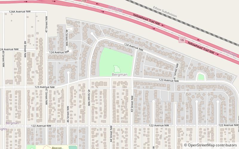
67 min walk • Bergman is a neighbourhood in east Edmonton, Alberta, Canada located immediately to the north of the Town of Beverly townsite. The neighbourhood is named for Gustav C. Bergman who was elected mayor of Beverly in the first municipal election after Beverly incorporated as a town in 1914.
 Neighbourhood
Edmonton-Beverly-Clareview, Edmonton
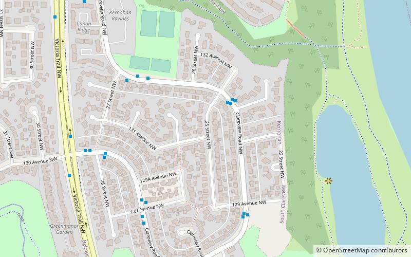
72 min walk • Edmonton-Beverly-Clareview is a provincial electoral district for the Legislative Assembly of Alberta, Canada. The electoral district covers the neighbourhoods of Beverly, Belmont Park and Clareview Town Centre.
 Neighbourhood
Fulton Place, Edmonton
63 min walk • Fulton Place is a residential neighbourhood in south east Edmonton, Alberta, Canada. It is named for the creek which runs along the neighbourhood's west boundary. It is part of a broader area of surrounding communities known as Greater Hardisty.
 Neighbourhood
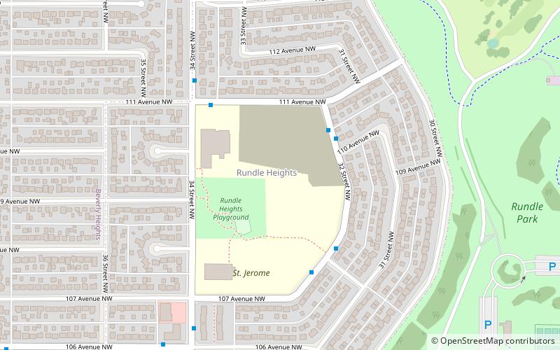
Rundle Heights, Edmonton
34 min walk • Rundle Heights is a residential neighbourhood overlooking the North Saskatchewan River valley in the City of Edmonton, Alberta, Canada, named for Methodist missionary Robert Terrill Rundle.