Clover Bar Bridge, Edmonton
Map
Map

Facts and practical information
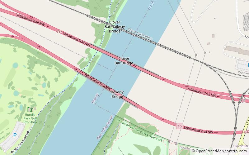
Clover Bar Bridge and Beverly Bridge are a pair of bridges that span the North Saskatchewan River in the city of Edmonton, Alberta, Canada. The twin spans carry 6 lanes total of Yellowhead Trail, the name given to Alberta Highway 16 within Edmonton city limits. ()
Completed: 1972 (54 years ago)Coordinates: 53°34'17"N, 113°22'19"W
Address
Northeast Edmonton (Clover Bar)Edmonton
ContactAdd
Social media
Add
Day trips
Clover Bar Bridge – popular in the area (distance from the attraction)
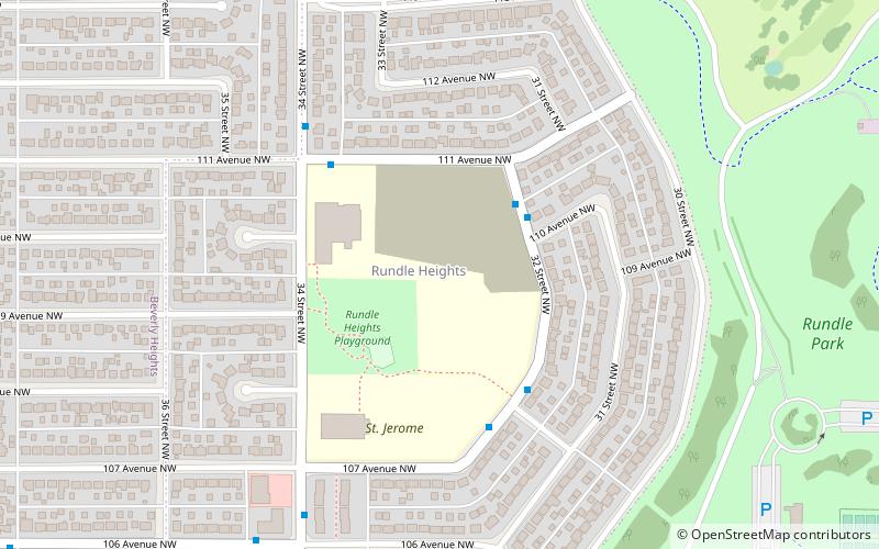
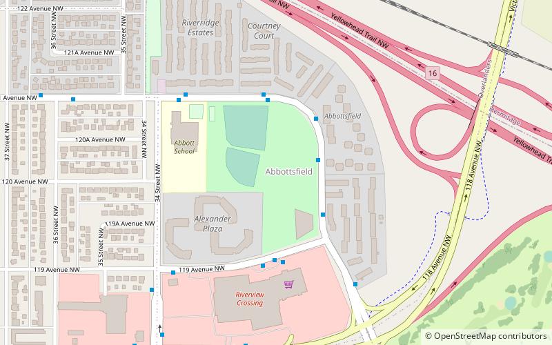
Nearby attractions include: Strathcona Science Provincial Park, Rundle Park, Rundle Heights, Abbottsfield.
Frequently Asked Questions (FAQ)
Which popular attractions are close to Clover Bar Bridge?
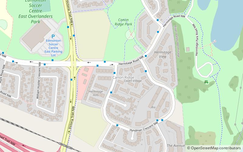
Nearby attractions include Canon Ridge, Edmonton (16 min walk), Abbottsfield, Edmonton (20 min walk), Strathcona Science Provincial Park, Sherwood Park (21 min walk), Rundle Park, Edmonton (22 min walk).


