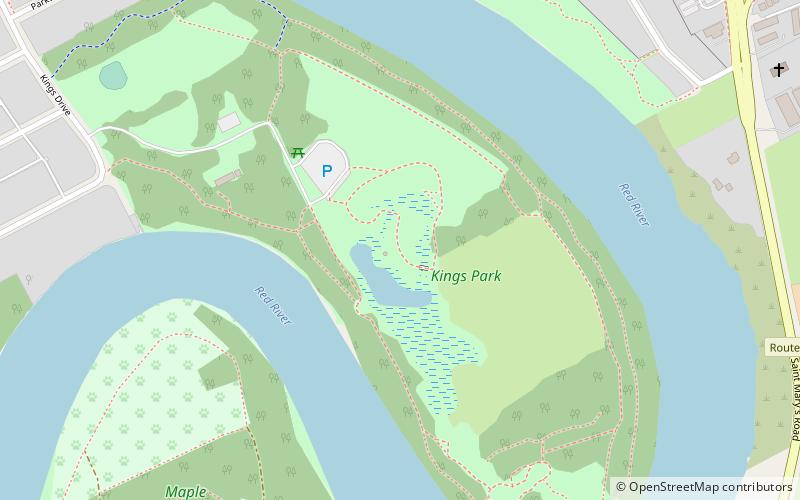
King's Park, Winnipeg
Map
Facts and practical information
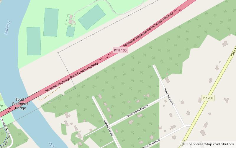
King's Park is a 92 acres park and residential subdivision in Fort Richmond, a suburb in southern Winnipeg, located on the western side of the Red River. Its grounds include Chinese pagoda gardens in the centre of the park, a soccer field, two baseball diamonds, an off leash dog park area and marshland, home of waterfowl and wildlife. ()
Established: 1911 (115 years ago)Elevation: 755 ft a.s.l.Coordinates: 49°47'52"N, 97°7'23"W
Getting there by public transportation
Public transportation stops near this location
- Bus
 Bus
Bus
- Calculate routeWestbound Burland at St. Mary's 12 min walk
- Calculate routeEastbound Silverstone at King's Drive 12 min walk
Day trips


Frequently Asked Questions (FAQ)
Which popular attractions are close to King's Park?
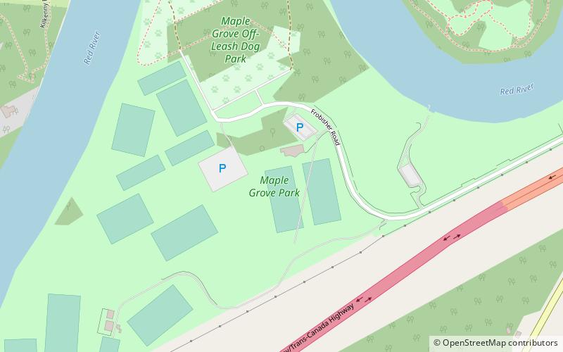
Nearby attractions include Maple Grove Park, Winnipeg (12 min walk), Winnipeg South, Winnipeg (22 min walk), Fort Richmond, Winnipeg (23 min walk).
How to get to King's Park by public transport?
The nearest stations to King's Park:
Bus
Bus
- Westbound Burland at St. Mary's • Lines: 14, 54 (12 min walk)
- Eastbound Silverstone at King's Drive • Lines: 662, 671, 672 (12 min walk)