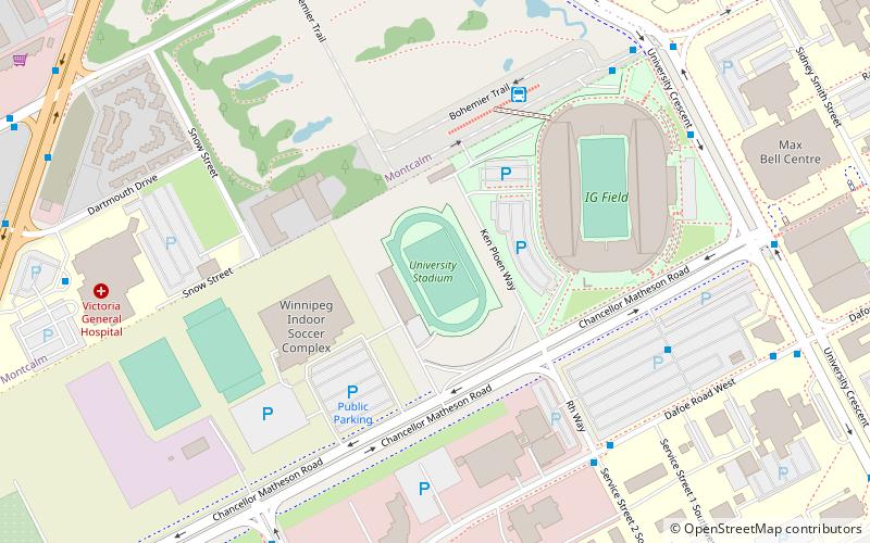
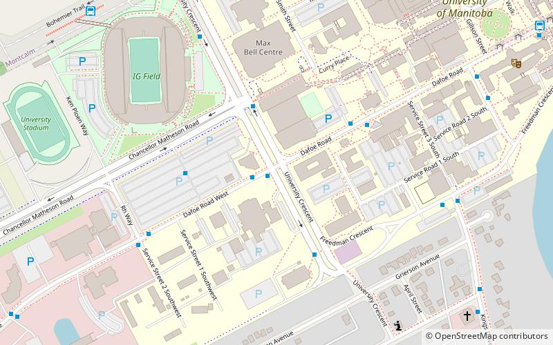
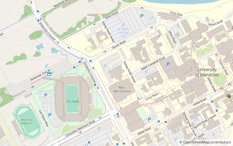
University Stadium, Winnipeg
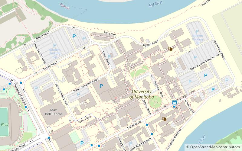
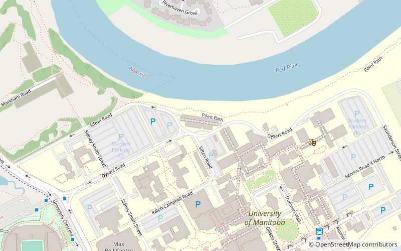
Map
Facts and practical information
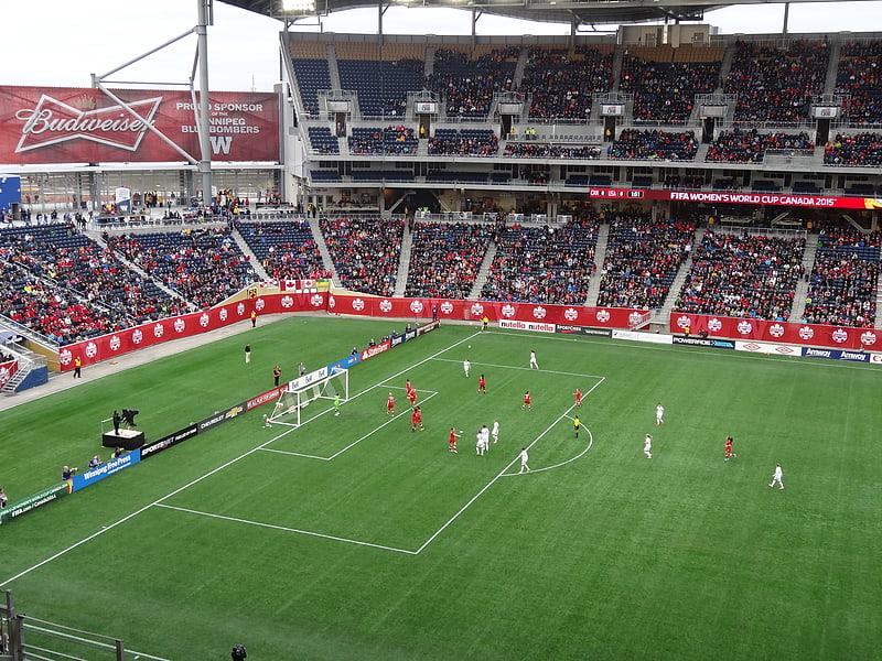
University Stadium is a multipurpose stadium located on the campus grounds of the University of Manitoba in Winnipeg, Manitoba, Canada. It features a 400m 8-lane track, as well as separate areas for long jump/triple jump, high jump, pole vault, discus, hammer, shot put, and javelin. Inside the track is a large natural grass field used for football and soccer. The stadium was home to the Manitoba Bisons football program until the team relocated next door to Investors Group Field in 2013. ()
Opened: 1967 (59 years ago)Capacity: 5000Coordinates: 49°48'24"N, 97°8'47"W
Address
Fort GarryWinnipeg
ContactAdd
Social media
Add
Getting there by public transportation
Public transportation stops near this location
- Bus
 Bus
Bus
- Calculate routeStadium Station 4 min walk
- Calculate routeWestbound Dafoe at RH Way 6 min walk
- Calculate routeEastbound Bohemier at University Crescent - IGF Station 7 min walk
Day trips


Frequently Asked Questions (FAQ)
Which popular attractions are close to University Stadium?
Nearby attractions include Investors Group Field, Winnipeg (5 min walk), University of Manitoba Archives & Special Collections, Winnipeg (9 min walk), Fort Richmond, Winnipeg (9 min walk), School of Art Gallery, Winnipeg (15 min walk).
How to get to University Stadium by public transport?
The nearest stations to University Stadium:
Bus
Bus
- Stadium Station (4 min walk)
- Westbound Dafoe at RH Way • Lines: 60, 74 (6 min walk)