Maple Grove Park, Winnipeg
Map
Facts and practical information
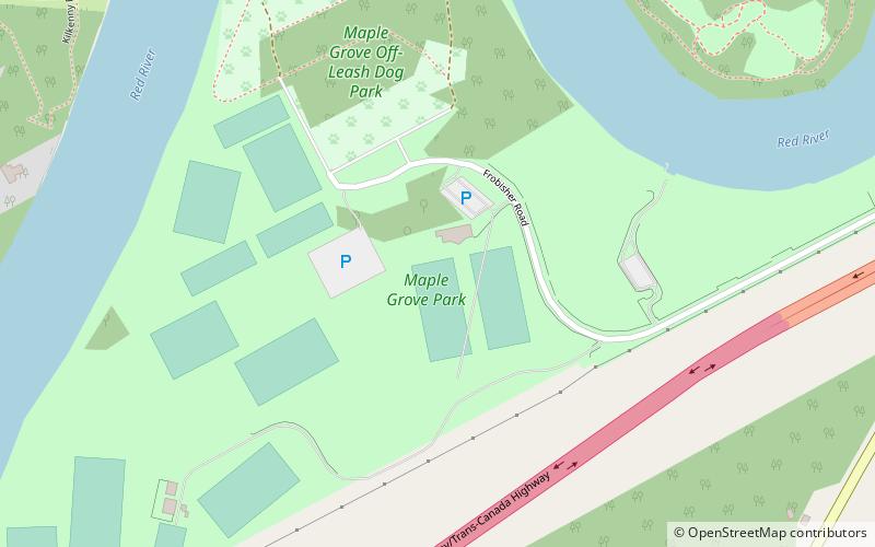
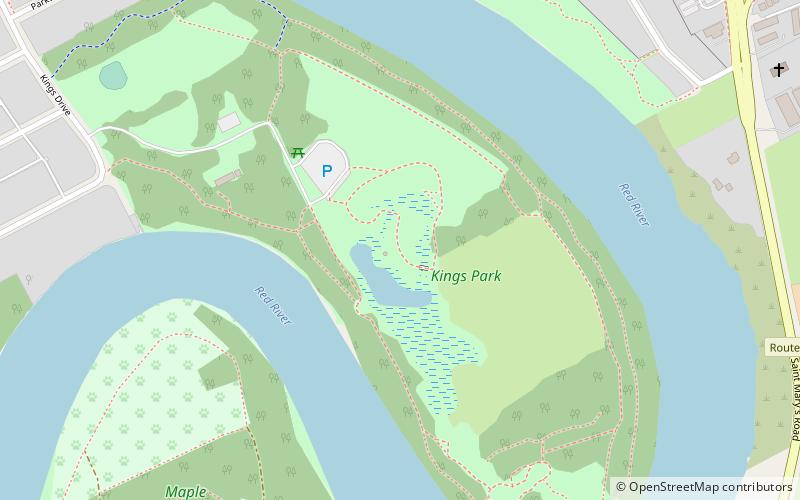
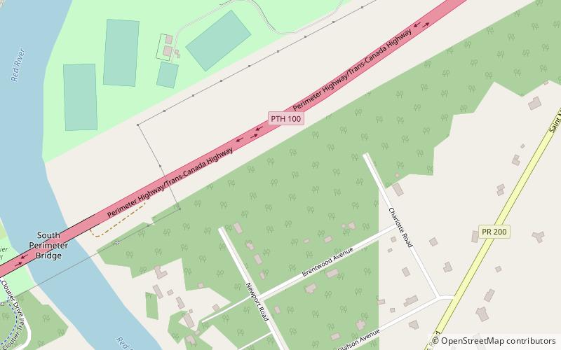
Maple Grove Rugby Park is an 81 ha park in Winnipeg, Manitoba, Canada. Located in the St. Vital neighbourhood, the park is bordered by the Perimeter Highway to the south, St. Mary's Road to the east, and the Red River to the north and west. King's Park is situated across the river in Fort Richmond. ()
Established: 1943 (83 years ago)Elevation: 751 ft a.s.l.Coordinates: 49°47'29"N, 97°7'34"W
Address
190 Frobisher RdSaint Vital (Maple Grove Park)Winnipeg R2N 3Z1
Contact
Social media
Add
Getting there by public transportation
Public transportation stops near this location
- Bus
 Bus
Bus
- Calculate routeEastbound Silverstone at King's Drive 19 min walk
- Calculate routeWestbound Silverstone at Aurora 19 min walk
Day trips

Frequently Asked Questions (FAQ)
When is Maple Grove Park open?
Maple Grove Park is open:
- Monday 24h
- Tuesday 24h
- Wednesday 24h
- Thursday 24h
- Friday 24h
- Saturday 24h
- Sunday 24h
Which popular attractions are close to Maple Grove Park?
Nearby attractions include Winnipeg South, Winnipeg (10 min walk), King's Park, Winnipeg (12 min walk).
How to get to Maple Grove Park by public transport?
The nearest stations to Maple Grove Park:
Bus
Bus
- Eastbound Silverstone at King's Drive • Lines: 662, 671, 672 (19 min walk)
- Westbound Silverstone at Aurora • Lines: 662, 671, 672 (19 min walk)