Winnipeg South, Winnipeg
Map
Facts and practical information
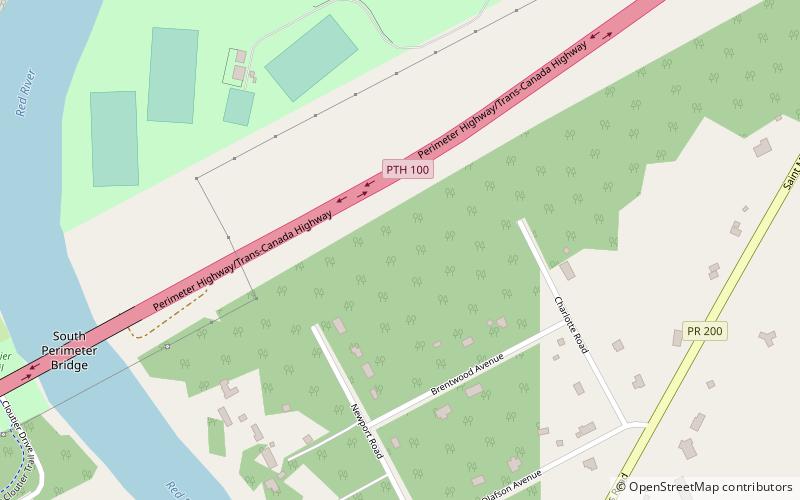
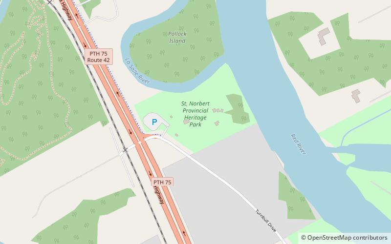
Winnipeg South is a Canadian federal electoral district in Manitoba, Canada, that has been represented in the House of Commons of Canada from 1917 to 1979, and since 1988. It covers the southernmost part of the city of Winnipeg. ()
Coordinates: 49°47'10"N, 97°7'41"W
Address
Saint Vital (Saint Vital Perimeter South)Winnipeg
ContactAdd
Social media
Add
Getting there by public transportation
Public transportation stops near this location
- Bus
 Bus
Bus
- Calculate routeNorthbound Dalhousie at Millikin 21 min walk
- Calculate routeSouthbound Dalhousie at Radcliffe 21 min walk
Day trips


Frequently Asked Questions (FAQ)
Which popular attractions are close to Winnipeg South?
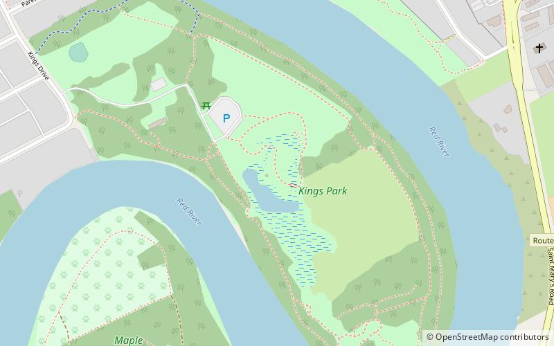
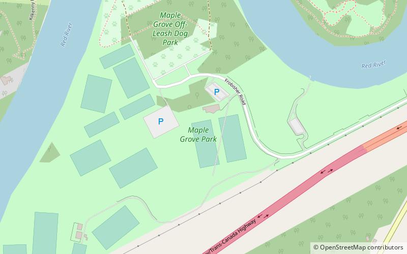
Nearby attractions include Maple Grove Park, Winnipeg (10 min walk), King's Park, Winnipeg (22 min walk).
How to get to Winnipeg South by public transport?
The nearest stations to Winnipeg South:
Bus
Bus
- Northbound Dalhousie at Millikin • Lines: 662 (21 min walk)
- Southbound Dalhousie at Radcliffe • Lines: 662 (21 min walk)