Chambery, Edmonton
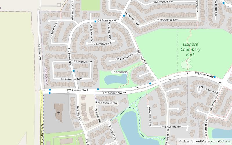
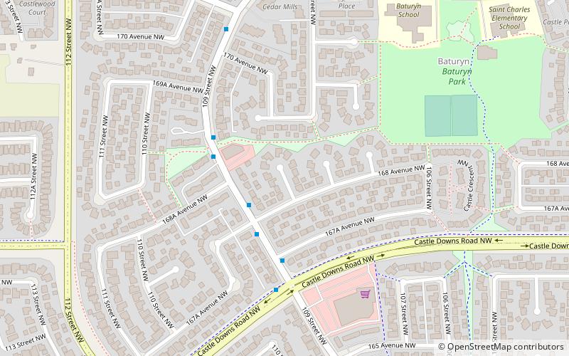
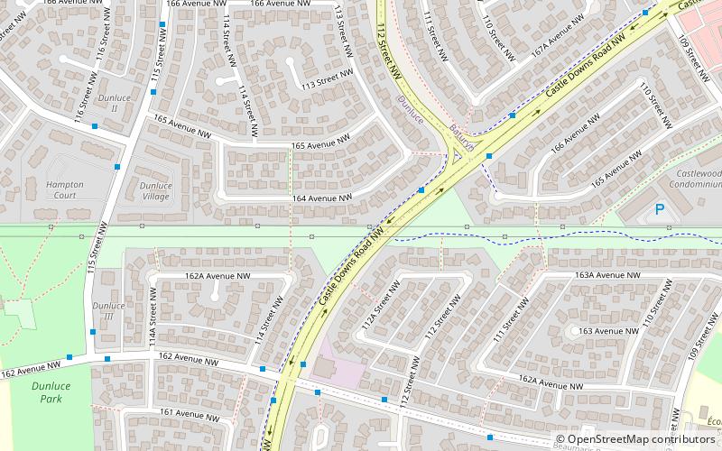
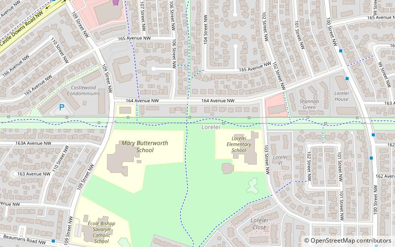
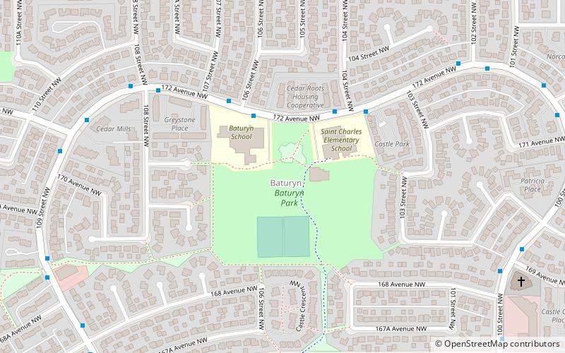
Map
Facts and practical information
Chambery is a new neighbourhood in the Castledowns area of north west Edmonton, Alberta, Canada. It is bounded on the west by 112 Street. The south boundary is half a block north of 173 A Avenue. To the north is Edmonton's Rural North West. It is named for the Château de Chambéry in France. Its location makes it ideal for persons working at CFB Edmonton, located just to the north of the city. ()
Area: 180.39 acres (0.2819 mi²)Coordinates: 53°38'26"N, 113°30'40"W
Address
Northwest Edmonton (Chambery)Edmonton
ContactAdd
Social media
Add
Day trips
Chambery – popular in the area (distance from the attraction)
Nearby attractions include: Edmonton-Castle Downs, Castle Downs, Edmonton Remand Centre, Lorelei.
Frequently Asked Questions (FAQ)
Which popular attractions are close to Chambery?
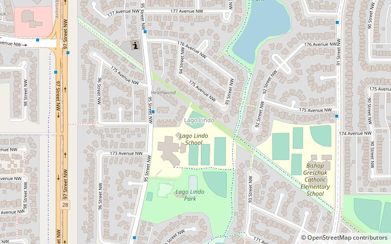
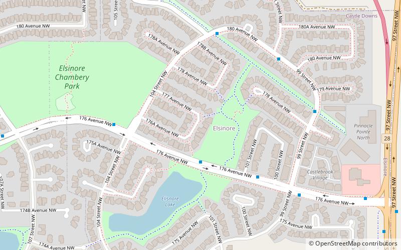
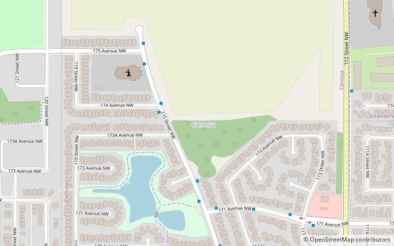
Nearby attractions include Elsinore, Edmonton (12 min walk), Canossa, Edmonton (15 min walk), Baturyn, Edmonton (17 min walk), Edmonton-Castle Downs, Edmonton (19 min walk).
