Locust Hill, Markham
Map
Map

Facts and practical information
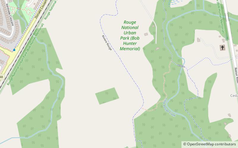
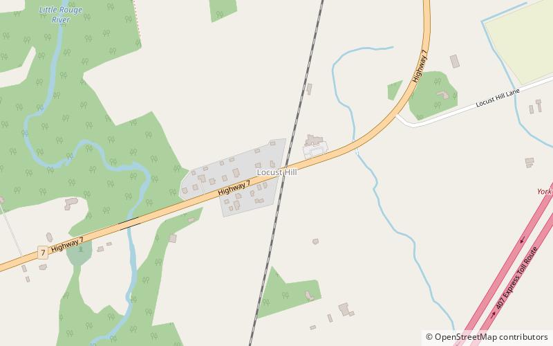
Locust Hill is a historic community of Markham, Ontario centred on Hwy. 7 and the Canadian Pacific Railway and within the boundaries of the future national Rouge Park. ()
Established: 1832 (194 years ago)Coordinates: 43°53'14"N, 79°11'54"W
Address
Rural MarkhamMarkham
ContactAdd
Social media
Add
Day trips
Locust Hill – popular in the area (distance from the attraction)
Nearby attractions include: Markham Museum, St. Dimitrija Solunski Macedonian Orthodox Church, Old Finch Avenue Bailey Bridge, Markham Village.
Frequently Asked Questions (FAQ)
How to get to Locust Hill by public transport?
The nearest stations to Locust Hill:
Bus
Bus
- Highway 7 / Donald Cousens Parkway • Lines: 1 (23 min walk)
- Cornell Rouge Boulevard / Honey Glen Avenue • Lines: 25 (26 min walk)


