Marpole, Vancouver
Map
Facts and practical information
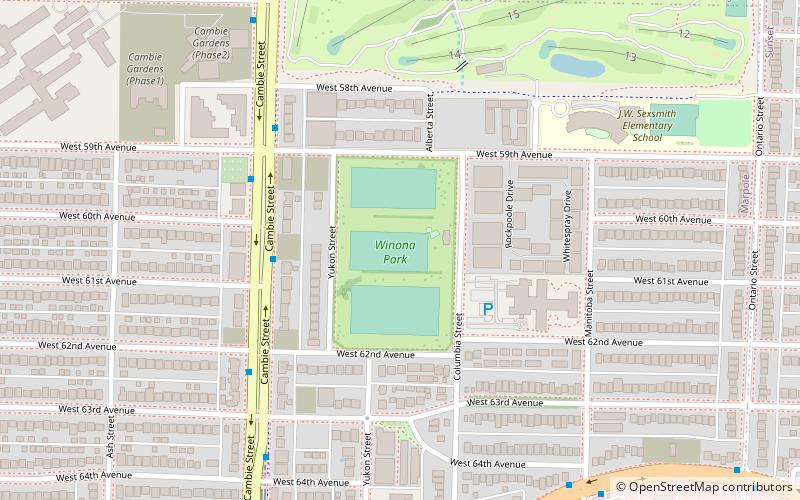
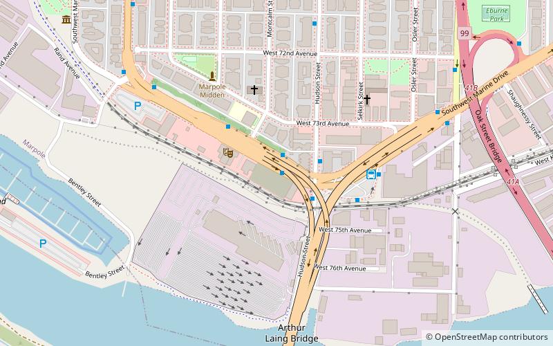
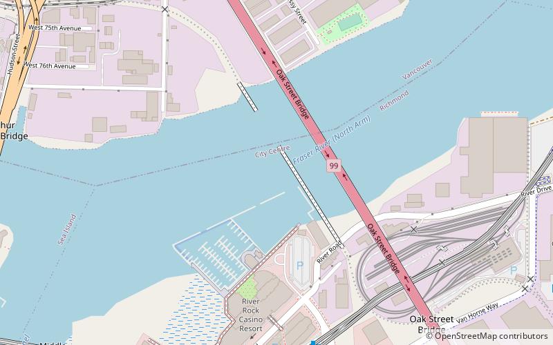
Marpole, originally a Musqueam village named c̓əsnaʔəm, is a mostly residential neighbourhood of 23,832 in 2011, located on the southern edge of the city of Vancouver, British Columbia, immediately northeast of Vancouver International Airport, and is approximately bordered by Angus Drive to the west, 57th Avenue to the north, Ontario Street to the east and the Fraser River to the south. It has undergone many changes in the 20th century, with the influx of traffic and development associated with the construction of the Oak Street Bridge and the Arthur Laing Bridge. ()
Address
MarpoleVancouver
ContactAdd
Social media
Add
Getting there by public transportation
Public transportation stops near this location
- Metro
- Bus
- Trolleybus
 Metro
Metro
- Calculate routeCambie St at West 61st Ave 4 min walk
- Calculate routeSW Marine Dr at Manitoba St 8 min walk
- Calculate routeSE Marine Dr at Ontario St 11 min walk
- Calculate routeMarine Drive Station Bay 2 11 min walk
- Calculate routeMarine Drive 11 min walk
- Calculate routeLangara-49th Avenue 20 min walk
Maps SkyTrain
SkyTrainDay trips


Frequently Asked Questions (FAQ)
Which popular attractions are close to Marpole?
Nearby attractions include Marpole-Oakridge Community Centre, Vancouver (18 min walk), Punjabi Market, Vancouver (23 min walk), North Arm Bridge, Richmond (24 min walk).
How to get to Marpole by public transport?
The nearest stations to Marpole:
Bus
Trolleybus
Metro
Bus
- Cambie St at West 61st Ave • Lines: 15 (4 min walk)
Trolleybus
- SW Marine Dr at Manitoba St • Lines: 3 (8 min walk)
- SE Marine Dr at Ontario St • Lines: 3 (11 min walk)
Metro
- Marine Drive • Lines: Canada Line (11 min walk)
- Langara-49th Avenue • Lines: Canada Line (20 min walk)