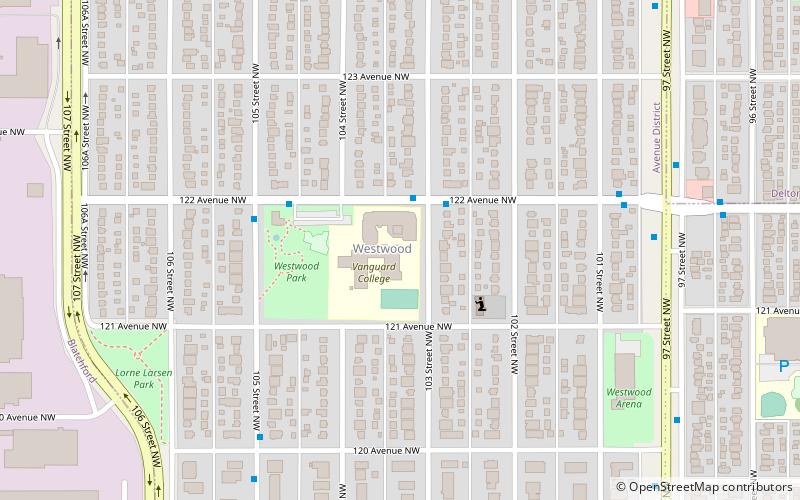
Westwood, Edmonton
Map
Facts and practical information
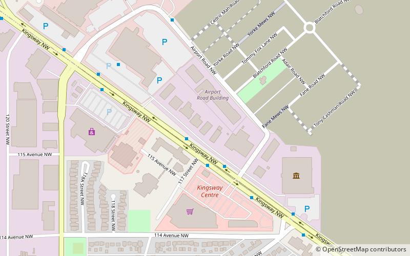
Westwood is a residential neighbourhood in north central Edmonton, Alberta, Canada. It is bounded by Yellowhead Trail to the north, 107 Street and 106 Street to the west, 118 Avenue to the south, 97 Street to the east. The Edmonton City Centre Airport is located to the west, while the Northern Alberta Institute of Technology and Kingsway Mall are located to the southwest. ()
Area: 0.38 mi²Coordinates: 53°34'34"N, 113°29'53"W
Address
North Central Edmonton (Westwood)Edmonton
ContactAdd
Social media
Add
Getting there by public transportation
Public transportation stops near this location
- Bus
- Light rail
 Bus
Bus
- Calculate route95 Street & 118 Ave 16 min walk
- Calculate route106 Street & 117 Ave 16 min walk
- Calculate route93 Street & 118 Ave 18 min walk
- Calculate routeNait 20 min walk
- Calculate routeStadium 41 min walk
Day trips


Frequently Asked Questions (FAQ)
Which popular attractions are close to Westwood?
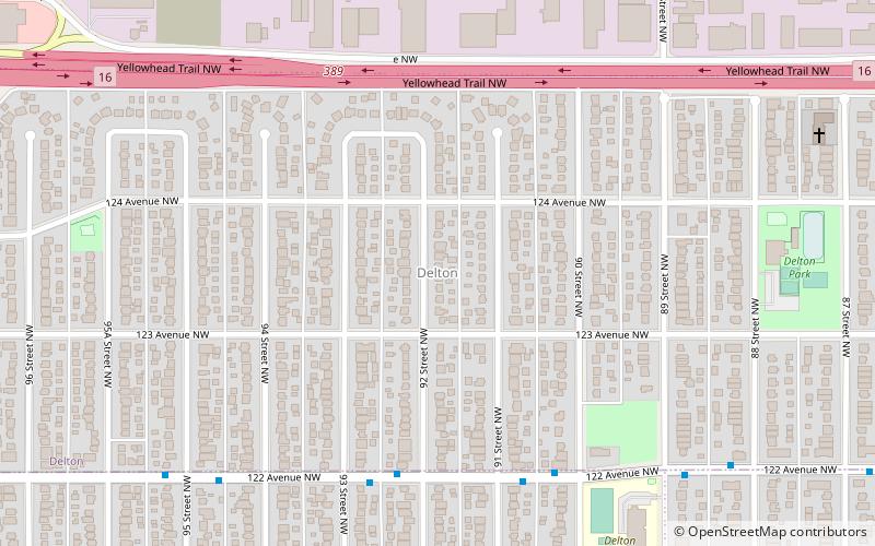
Nearby attractions include Delton, Edmonton (18 min walk), Alberta Avenue, Edmonton (20 min walk), Blatchford, Edmonton (21 min walk), Spruce Avenue, Edmonton (22 min walk).
How to get to Westwood by public transport?
The nearest stations to Westwood:
Bus
Light rail
Bus
- 95 Street & 118 Ave • Lines: 5 (16 min walk)
- 106 Street & 117 Ave • Lines: 202, 560 (16 min walk)
Light rail
- Nait • Lines: 502 (20 min walk)
- Stadium • Lines: 501 (41 min walk)