Kildare, Edmonton
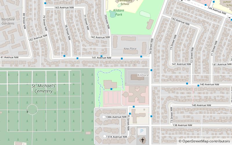
Map
Facts and practical information
Area: 0.46 mi²Coordinates: 53°36'11"N, 113°27'29"W
Address
Northeast Edmonton (Kildare)Edmonton
ContactAdd
Social media
Add
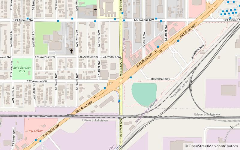
Getting there by public transportation
Public transportation stops near this location
- Bus
- Light rail
 Bus
Bus
- Calculate routeFort Road & 131 Ave 35 min walk
- Calculate route54 Street & Fort Road 35 min walk
- Calculate routeBelvedere Transit Centre 36 min walk
- Calculate routeBelvedere 37 min walk
Day trips


Frequently Asked Questions (FAQ)
Which popular attractions are close to Kildare?
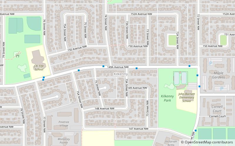
Nearby attractions include Londonderry Mall, Edmonton (13 min walk), Delwood, Edmonton (13 min walk), Kilkenny, Edmonton (15 min walk), Kilkenny Community League, Edmonton (16 min walk).
How to get to Kildare by public transport?
The nearest stations to Kildare:
Bus
Light rail
Bus
- Fort Road & 131 Ave • Lines: 2, 2-Owl (35 min walk)
- 54 Street & Fort Road • Lines: 2 (35 min walk)
Light rail
- Belvedere • Lines: 501 (37 min walk)