Gee-Gees Field, Ottawa
Map
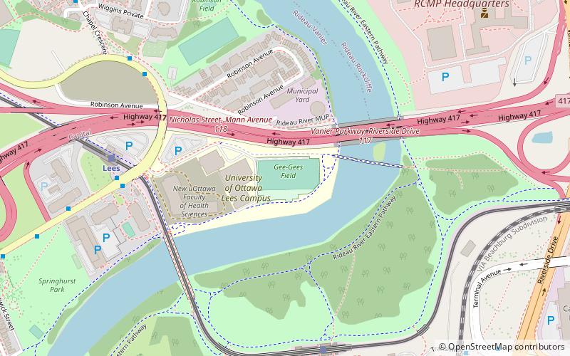
Map

Facts and practical information
Gee-Gees Field is a multi-purpose stadium at the University of Ottawa in Ottawa, Ontario, Canada. It is home to the Ottawa Gee-Gees varsity football team. It was opened in 2013, to serve as the first on-campus home to the Gee-Gees football team in 120 years. ()
Capacity: 4152Coordinates: 45°24'58"N, 75°39'55"W
Day trips
Gee-Gees Field – popular in the area (distance from the attraction)
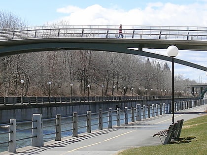
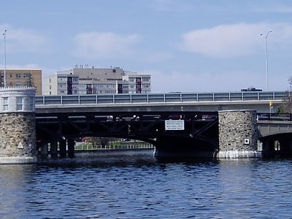
Nearby attractions include: Raymond Chabot Grant Thornton Park, Flora Footbridge, Adàwe Crossing, Corktown Footbridge.
Frequently Asked Questions (FAQ)
Which popular attractions are close to Gee-Gees Field?
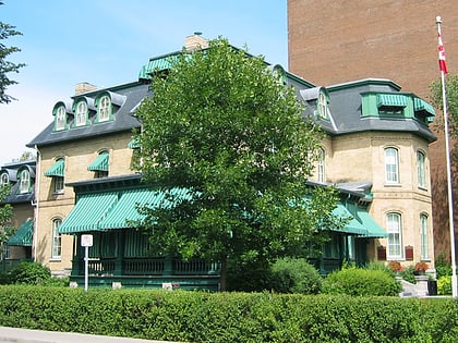
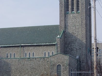
Nearby attractions include Lees Avenue, Ottawa (9 min walk), Dutchy's Hole Park, Ottawa (10 min walk), Saints Peter and Paul Melkite Catholic Church, Ottawa (10 min walk), St. Clement Parish, Ottawa (13 min walk).
How to get to Gee-Gees Field by public transport?
The nearest stations to Gee-Gees Field:
Bus
Light rail
Train
Bus
- Lees B • Lines: 16, 55, 56 (7 min walk)
- Lees A • Lines: 16, 39, 45, 55, 56, 97 (7 min walk)
Light rail
- Hurdman O-Train West/Ouest • Lines: 1 (7 min walk)
- Lees O-Train East/Est • Lines: 1 (7 min walk)
Train
- Ottawa (17 min walk)

