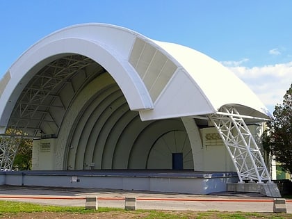
Ontario Place West Channel, Toronto
Map

Map

Facts and practical information
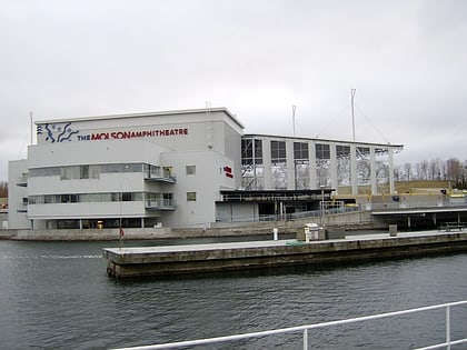
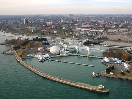
The Ontario Place West Channel, also known as the Toronto Western Beaches Watercourse is a 'flat water' training and competition centre for rowing, paddling and water sports located on the shoreline of Lake Ontario in Toronto, Ontario, Canada. ()
Coordinates: 43°37'46"N, 79°25'39"W
Address
Toronto
ContactAdd
Social media
Add
Day trips
Ontario Place West Channel – popular in the area (distance from the attraction)
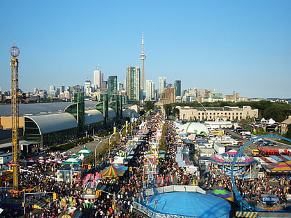
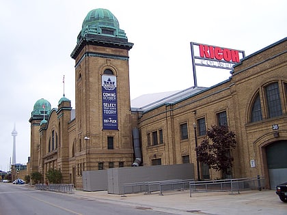
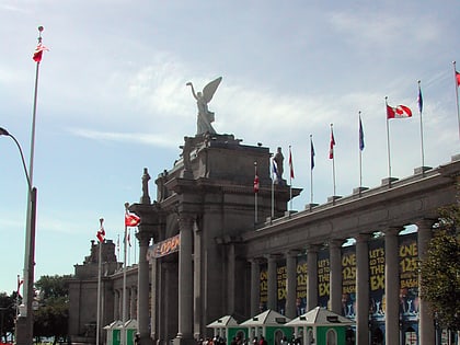
Nearby attractions include: Exhibition Place, Lamport Stadium, BMO Field, Ricoh Coliseum.
Frequently Asked Questions (FAQ)
Which popular attractions are close to Ontario Place West Channel?
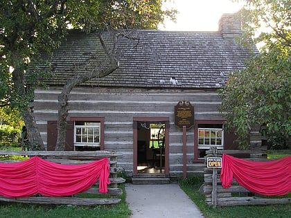
Nearby attractions include Scadding Cabin, Toronto (5 min walk), Fort Rouillé, Toronto (6 min walk), Lake Shore Boulevard Bailey Bridge, Toronto (6 min walk), Medieval Times Dinner & Tournament - Toronto, Toronto (7 min walk).
How to get to Ontario Place West Channel by public transport?
The nearest stations to Ontario Place West Channel:
Bus
Tram
Train
Bus
- Dufferin Gate Loop (9 min walk)
- 130 Dunn Avenue • Lines: 402 (13 min walk)
Tram
- Dufferin Gate Loop • Lines: 504B (10 min walk)
- Springhurst Avenue • Lines: 504B (11 min walk)
Train
- Exhibition (16 min walk)

 Subway
 Streetcar system
 PATH
PATH