David Crombie Park, Toronto
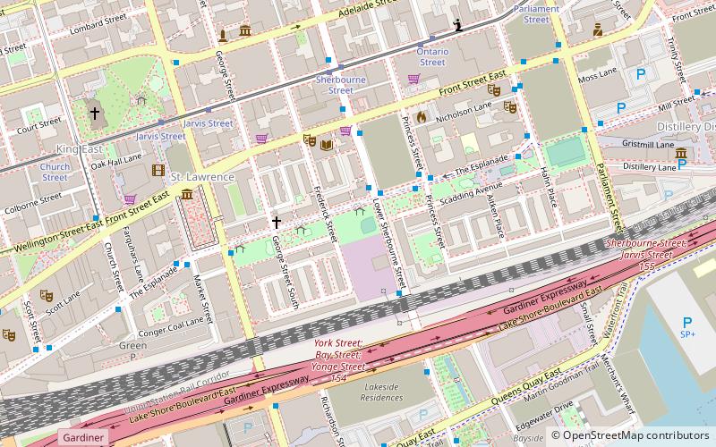
Map
Map

Facts and practical information
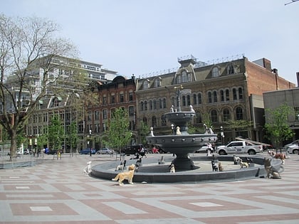
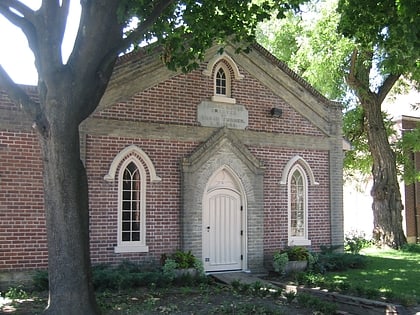
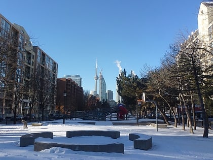
David Crombie Park is a park in downtown Toronto that is the spine of the St Lawrence Neighbourhood. While not a destination for visitors from outside the neighbourhood, the park is well used by residents, and by tourists using it as a corridor to walk from downtown to the entertainments found in the nearby Distillery District. ()
Elevation: 253 ft a.s.l.Coordinates: 43°38'55"N, 79°22'4"W
Day trips
David Crombie Park – popular in the area (distance from the attraction)
Nearby attractions include: St. Lawrence Market, Design Exchange, Cathedral Church of St. James, Meridian Hall.
Frequently Asked Questions (FAQ)
Which popular attractions are close to David Crombie Park?
Nearby attractions include St. Lawrence Hall, Toronto (3 min walk), Young People's Theatre, Toronto (4 min walk), St. Lawrence Market, Toronto (6 min walk), Trinity Square, Toronto (6 min walk).
How to get to David Crombie Park by public transport?
The nearest stations to David Crombie Park:
Bus
Tram
Metro
Ferry
Train
Bus
- Lower Sherbourne Street • Lines: 121 (1 min walk)
- The Esplanade • Lines: 75 (2 min walk)
Tram
- Sherbourne Street • Lines: 503, 504A, 504B (5 min walk)
- Jarvis Street • Lines: 503, 504A, 504B (6 min walk)
Metro
- King • Lines: 1 (13 min walk)
- Union • Lines: 1 (17 min walk)
Ferry
- Jack Layton Ferry Terminal • Lines: Toronto Island Ferry, Ward's Island (18 min walk)
Train
- Toronto Union Station (18 min walk)
 Subway
 Streetcar system
 PATH
PATH


