Distillery District, Toronto
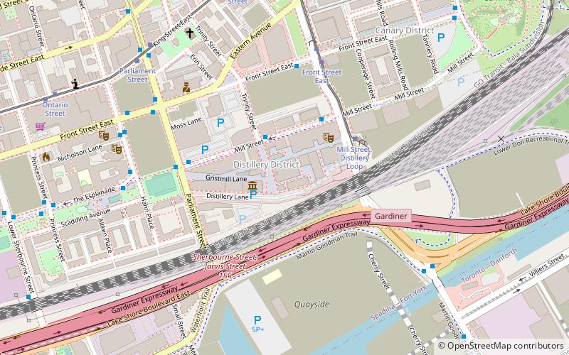
Map
Gallery
Facts and practical information
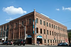
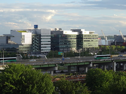
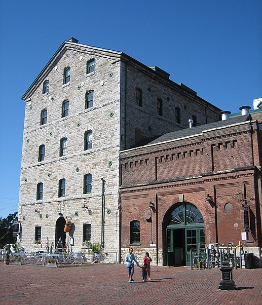
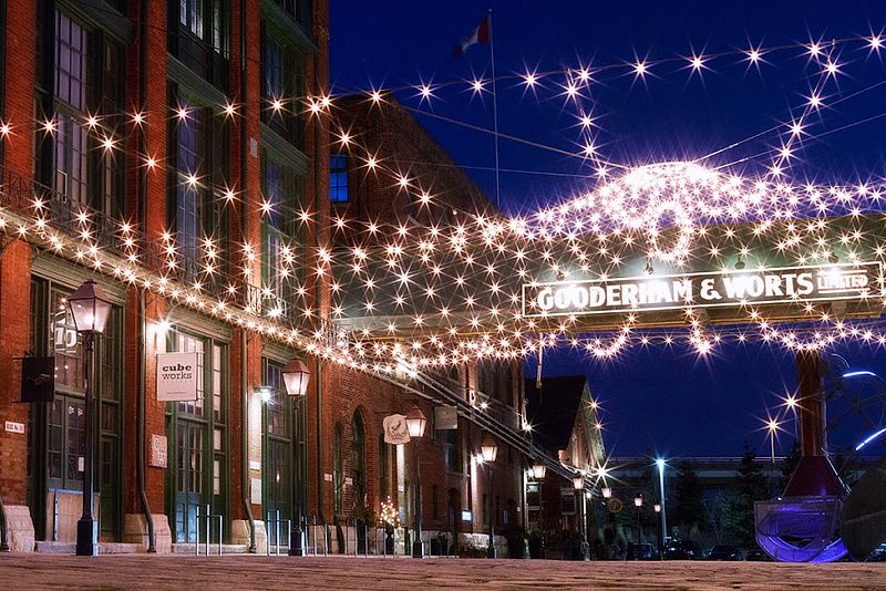
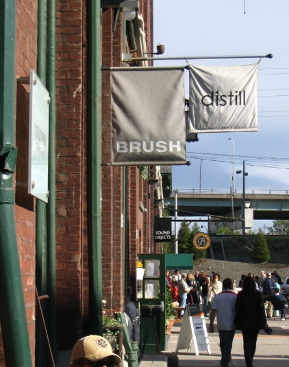
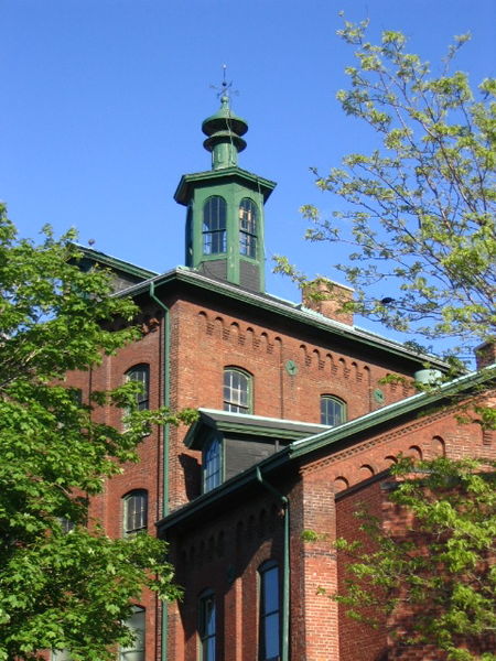
The Distillery District is a commercial and residential district in Toronto, Ontario, Canada, east of downtown, which contains numerous cafés, restaurants, and shops housed within heritage buildings of the former Gooderham and Worts Distillery. The 13 acres district comprises more than forty heritage buildings and ten streets, and is the largest collection of Victorian-era industrial architecture in North America. ()
Day trips
Distillery District – popular in the area (distance from the attraction)
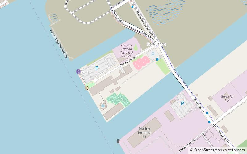
Nearby attractions include: Rebel, Polson Pier, St. Paul's Basilica, Enoch Turner School.
Frequently Asked Questions (FAQ)
Which popular attractions are close to Distillery District?
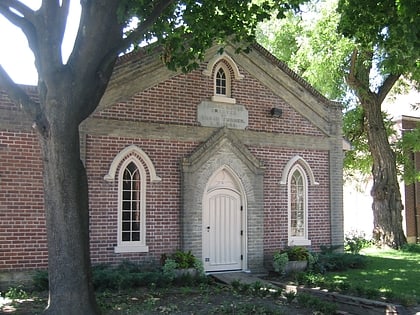
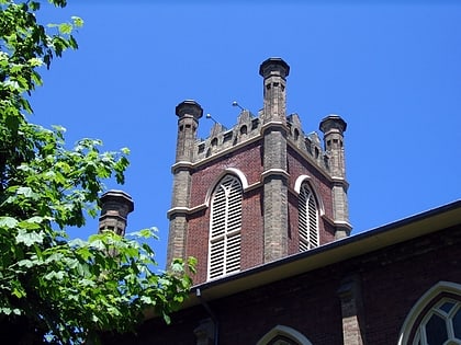
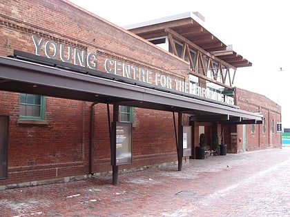
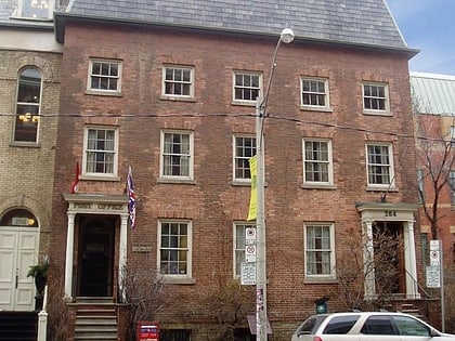
Nearby attractions include Young Centre for the Performing Arts, Toronto (1 min walk), Theatre Museum Canada, Toronto (3 min walk), Enoch Turner School, Toronto (7 min walk), Little Trinity Anglican Church, Toronto (8 min walk).
How to get to Distillery District by public transport?
The nearest stations to Distillery District:
Tram
Bus
Metro
Ferry
Train
Tram
- Mill Street, Distillery Loop • Lines: 504A (1 min walk)
- Front Street East • Lines: 504A (4 min walk)
Bus
- Cherry Street • Lines: 121 (3 min walk)
- Trinity Street • Lines: 121 (3 min walk)
Metro
- King • Lines: 1 (27 min walk)
- Queen • Lines: 1 (29 min walk)
Ferry
- Jack Layton Ferry Terminal • Lines: Toronto Island Ferry, Ward's Island (30 min walk)
Train
- Toronto Union Station (32 min walk)



 Subway
 Streetcar system
 PATH
PATH
