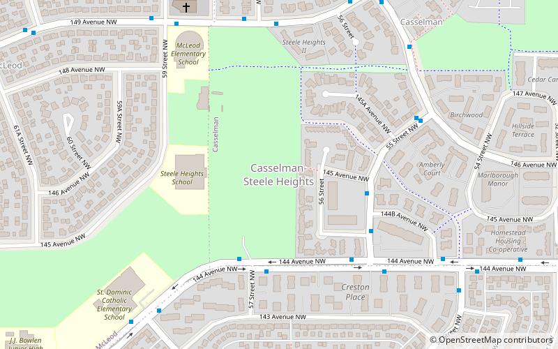
Casselman-Steele Heights, Edmonton
Map
Facts and practical information
Casselman-Steele Heights is a residential area in the northeast portion of the City of Edmonton in Alberta, Canada. Though development had already commenced in a portion of the area, its extents were established in 1972 through Edmonton City Council's adoption of the Casselman-Steele Heights District Outline Plan, which guided the overall development of the area. ()
Coordinates: 53°36'31"N, 113°25'42"W
Address
Northeast Edmonton (Casselman)Edmonton
ContactAdd
Social media
Add
Getting there by public transportation
Public transportation stops near this location
- Bus
- Light rail
 Bus
Bus
- Calculate routeClareview Transit Centre 21 min walk
- Calculate routeFort Road & 134 Ave 25 min walk
- Calculate routeClareview 22 min walk
Day trips


Frequently Asked Questions (FAQ)
Which popular attractions are close to Casselman-Steele Heights?
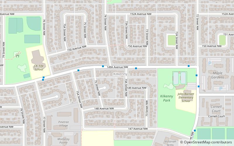
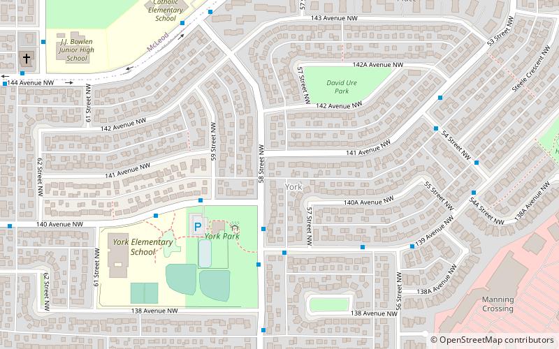
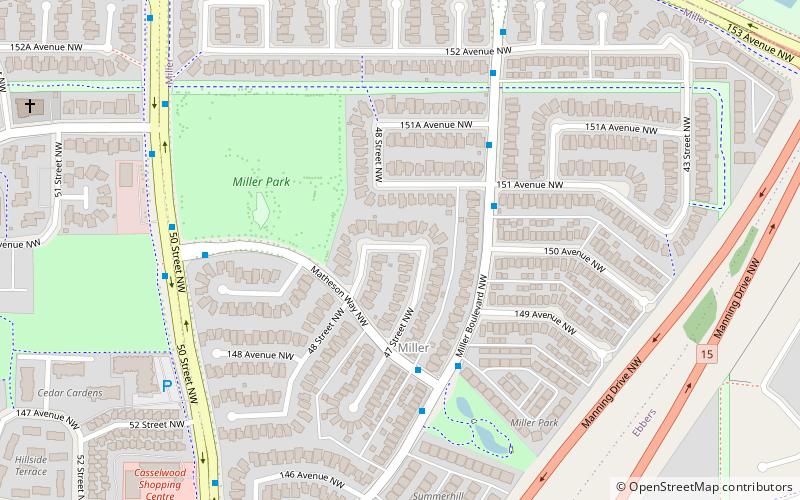
Nearby attractions include Casselman, Edmonton (7 min walk), McLeod, Edmonton (10 min walk), York, Edmonton (10 min walk), Miller, Edmonton (18 min walk).
How to get to Casselman-Steele Heights by public transport?
The nearest stations to Casselman-Steele Heights:
Bus
Light rail
Bus
- Clareview Transit Centre • Lines: 2, 2-Owl (21 min walk)
- Fort Road & 134 Ave • Lines: 2 (25 min walk)
Light rail
- Clareview • Lines: 501 (22 min walk)