York, Edmonton
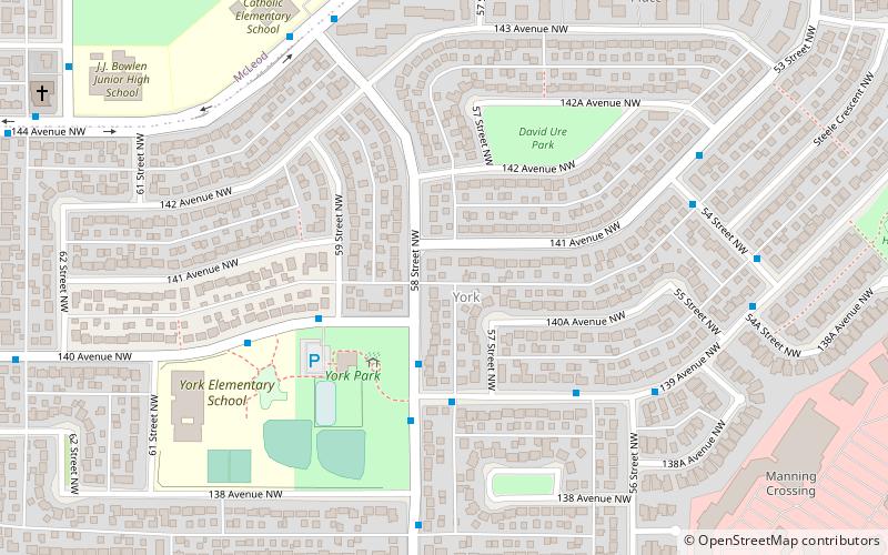
Map
Facts and practical information
Area: 0.46 mi²Coordinates: 53°36'11"N, 113°25'48"W
Address
Northeast Edmonton (York)Edmonton
ContactAdd
Social media
Add
Day trips
York – popular in the area (distance from the attraction)
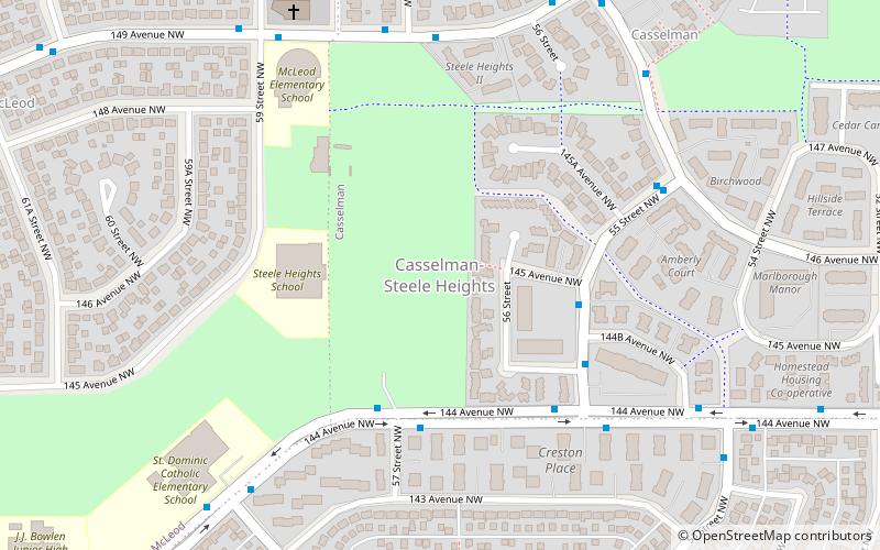
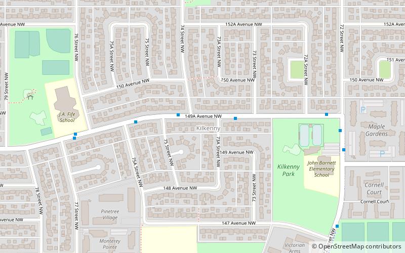
Nearby attractions include: Londonderry Mall, Edmonton/North, Kilkenny Community League, Casselman-Steele Heights.
Frequently Asked Questions (FAQ)
Which popular attractions are close to York?
Nearby attractions include Casselman-Steele Heights, Edmonton (10 min walk), McLeod, Edmonton (15 min walk), Casselman, Edmonton (16 min walk), Londonderry Mall, Edmonton (17 min walk).
How to get to York by public transport?
The nearest stations to York:
Bus
Light rail
Bus
- Fort Road & 134 Ave • Lines: 2 (16 min walk)
- Fort Road & 132 Ave • Lines: 2, 2-Owl (19 min walk)
Light rail
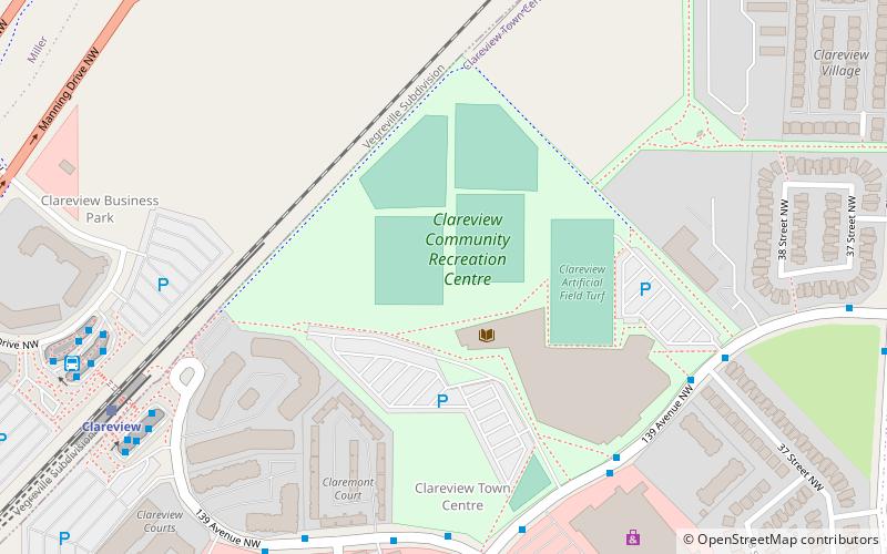
- Clareview • Lines: 501 (20 min walk)
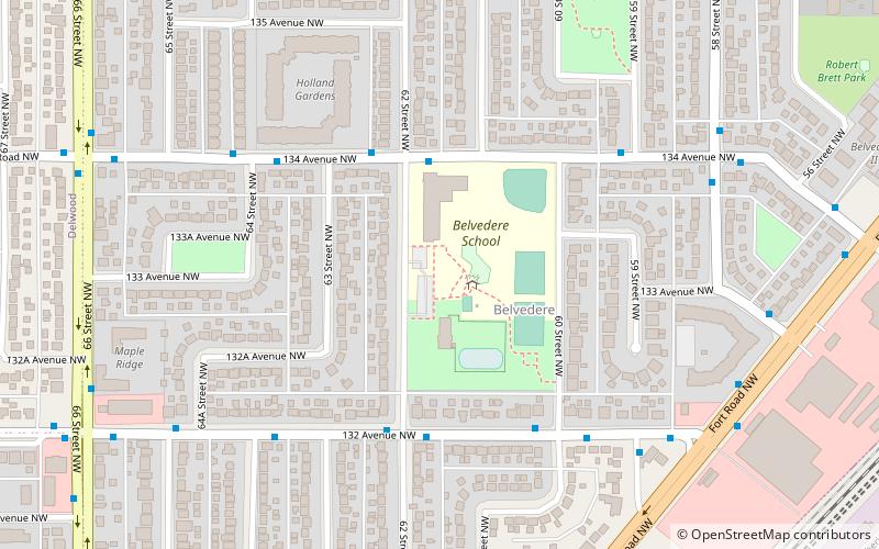
- Belvedere • Lines: 501 (27 min walk)
