Crawford Plains, Edmonton
Map
Facts and practical information
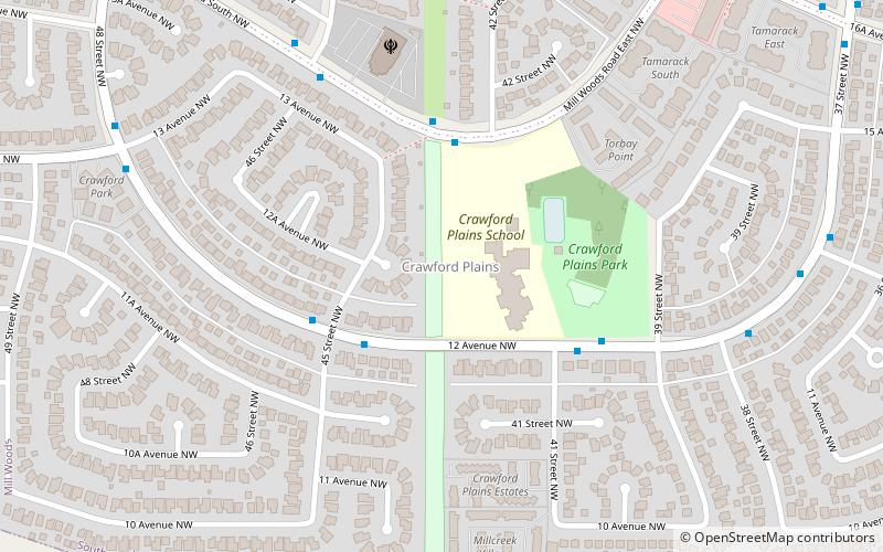
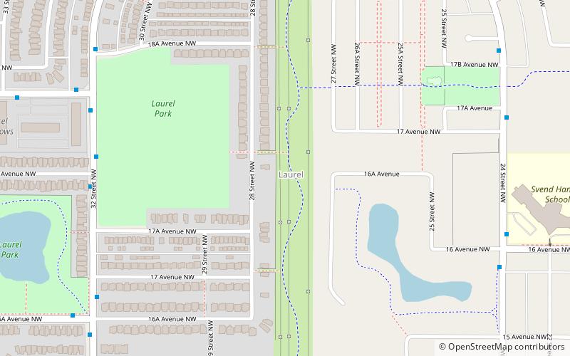
Crawford Plains is a residential neighbourhood located in the Mill Woods area of south Edmonton, Alberta, Canada. It is a part of the Mill Woods community of Southwood. It was named in 1976 to honour Neil Stanley Crawford, a provincial cabinet minister and former Edmonton alderman, "in recognition of his public service as a member of the Edmonton Historical Board, Local Board of Health and city council." ()
Area: 145.79 acres (0.2278 mi²)Coordinates: 53°26'28"N, 113°24'25"W
Address
Southeast Edmonton (Crawford Plains)Edmonton
ContactAdd
Social media
Add
Getting there by public transportation
Public transportation stops near this location
- Bus
 Bus
Bus
- Calculate route9466 20 min walk
Day trips


Frequently Asked Questions (FAQ)
Which popular attractions are close to Crawford Plains?
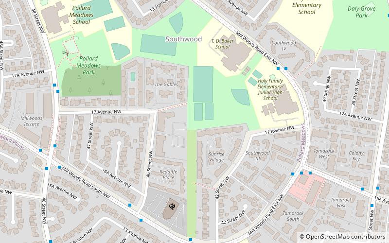
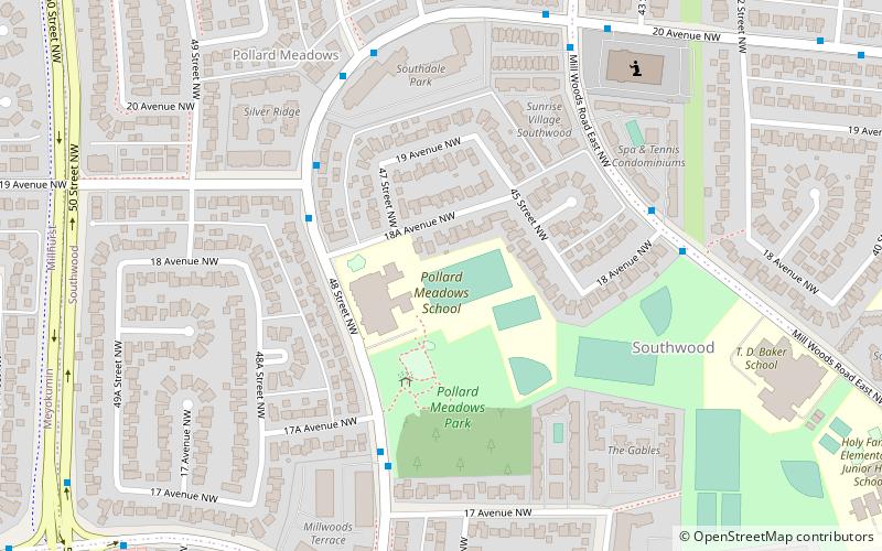
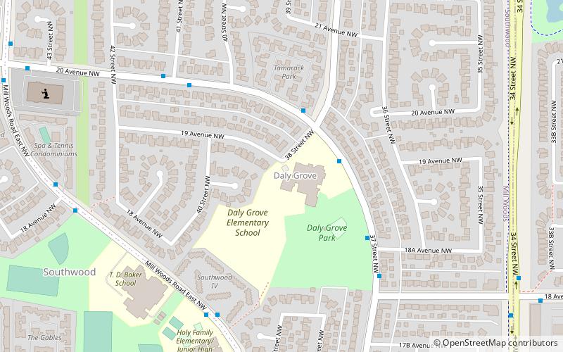
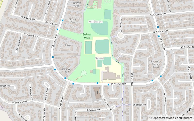
Nearby attractions include Millhurst, Edmonton (9 min walk), Pollard Meadows, Edmonton (15 min walk), Daly Grove, Edmonton (17 min walk), Sakaw, Edmonton (24 min walk).
How to get to Crawford Plains by public transport?
The nearest stations to Crawford Plains:
Bus
Bus
- 9466 • Lines: 79 (20 min walk)