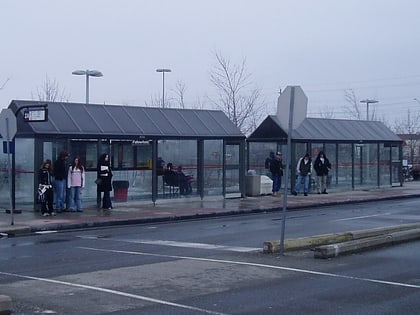
Fallowfield station, Ottawa
Map
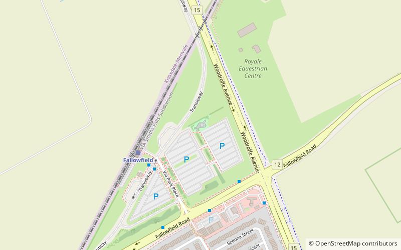
Map

Facts and practical information
Alternative names: Opened: 2000 (26 years ago)Elevation: 299 ft a.s.l.Coordinates: 45°18'0"N, 75°44'2"W
Address
Ottawa
ContactAdd
Social media
Add
Day trips
Fallowfield station – popular in the area (distance from the attraction)
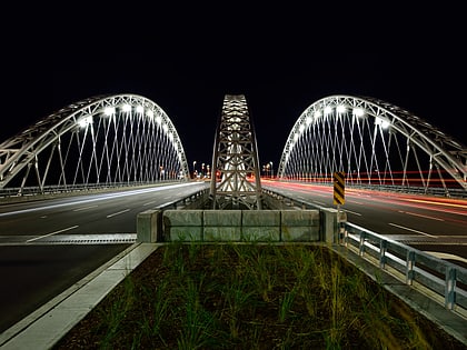
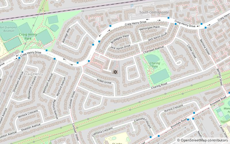
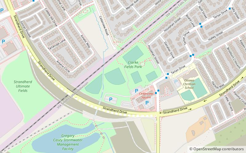
Nearby attractions include: Vimy Memorial Bridge, Beit Tikvah of Ottawa, Superdome at Ben Franklin Park, Clarke Fields Park.
Frequently Asked Questions (FAQ)
How to get to Fallowfield station by public transport?
The nearest stations to Fallowfield station:
Bus
Train
Bus
- Fallowfield 2A • Lines: 170, 171, 173, 179, 270, 271, 272, 273, 275, 277, 278, 305, 73, 74, 75, Bus 110 (4 min walk)
- Fallowfield / Woodroffe • Lines: 171, 73, 74 (4 min walk)
Train
- Fallowfield (4 min walk)
