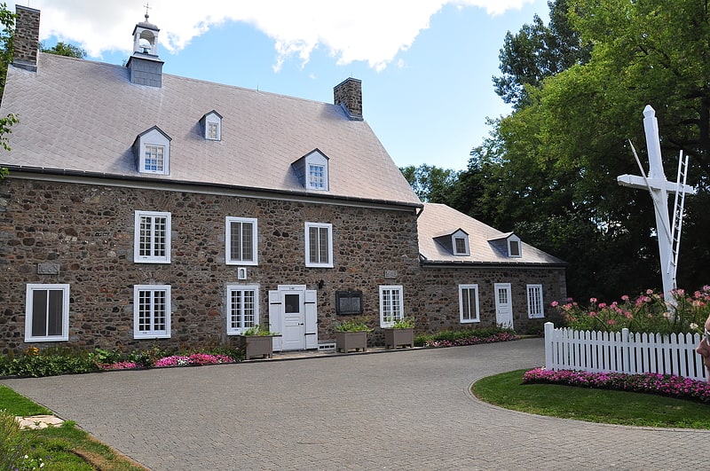
Fort Laprairie, Montreal

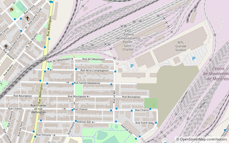
Map
Facts and practical information
Fort Laprairie was constructed in 1687, and served as a military fort in New France until 1713. The fort was attacked by Major Peter Schuyler on August 11, 1691, but resisted to the invaders. The British and Dutch colonists were commanded by Major Pieter Schuyler. ()
Coordinates: 45°25'15"N, 73°29'48"W
Address
La PrairieMontreal
ContactAdd
Social media
Add
Getting there by public transportation
Public transportation stops near this location
- Bus
 Bus
Bus
- Calculate routerue Notre-Dame / ruelle des Glacières 7 min walk
- Calculate routerue Notre-Dame / ch. St-Jean 8 min walk
- Calculate routeRue Saint-Laurent / Rue Saint-Henri 8 min walk
- Calculate routeavenue Balmoral / rue Notre-Dame 8 min walk
Maps Metro
Metro
MetroDay trips


Frequently Asked Questions (FAQ)
How to get to Fort Laprairie by public transport?
The nearest stations to Fort Laprairie:
Bus
Bus
- rue Notre-Dame / ruelle des Glacières • Lines: 21 Pm, 29 (7 min walk)
- rue Notre-Dame / ch. St-Jean • Lines: 121, 21 Am, 28 (8 min walk)