Des Rapides Park, Montreal
Map

Map

Facts and practical information
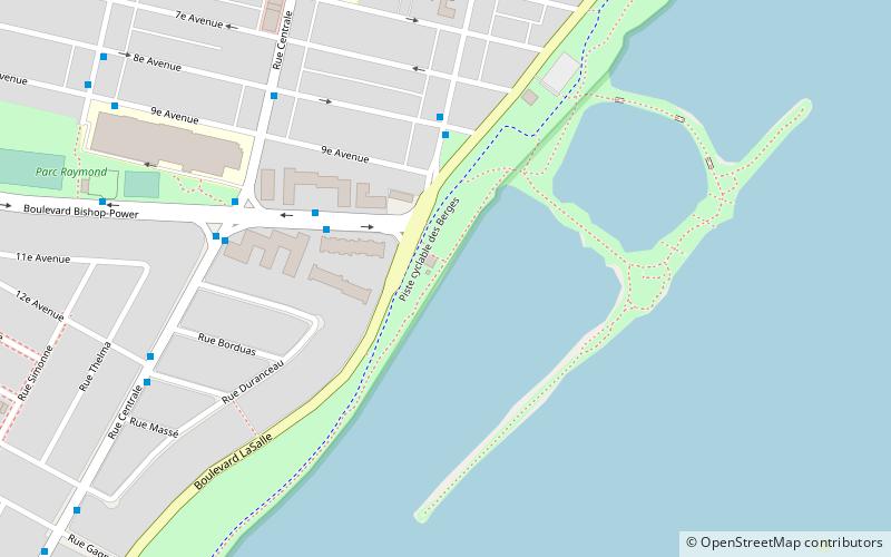
Des Rapides Park is an urban park in Montreal, Quebec, Canada. It is located adjacent to the Lachine Rapids in the borough of LaSalle. It is considered by the City of Montreal as one of its large parks. ()
Elevation: 46 ft a.s.l.Coordinates: 45°25'35"N, 73°35'43"W
Day trips
Des Rapides Park – popular in the area (distance from the attraction)
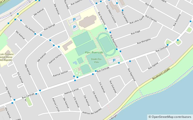
Nearby attractions include: Angrignon Park, Riverside Park, Canal de l'Aqueduc, Heron Island.
Frequently Asked Questions (FAQ)
Which popular attractions are close to Des Rapides Park?
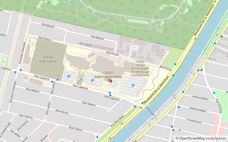
Nearby attractions include Heron Island, Montreal (20 min walk), Centre de documentation collégiale, Montreal (22 min walk), Riverside Park, Montreal (23 min walk).
How to get to Des Rapides Park by public transport?
The nearest stations to Des Rapides Park:
Bus
Bus
- Bishop-Power / No 220 • Lines: 109-N, 58-E, 58-O (4 min walk)
- Édouard / 8e Avenue • Lines: 109-N, 58-E, 58-O (4 min walk)

 Metro
Metro


