Queen Street West, Toronto
Facts and practical information
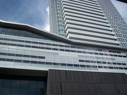
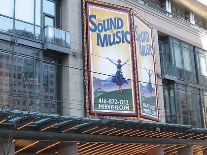
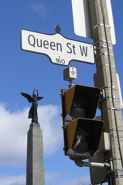
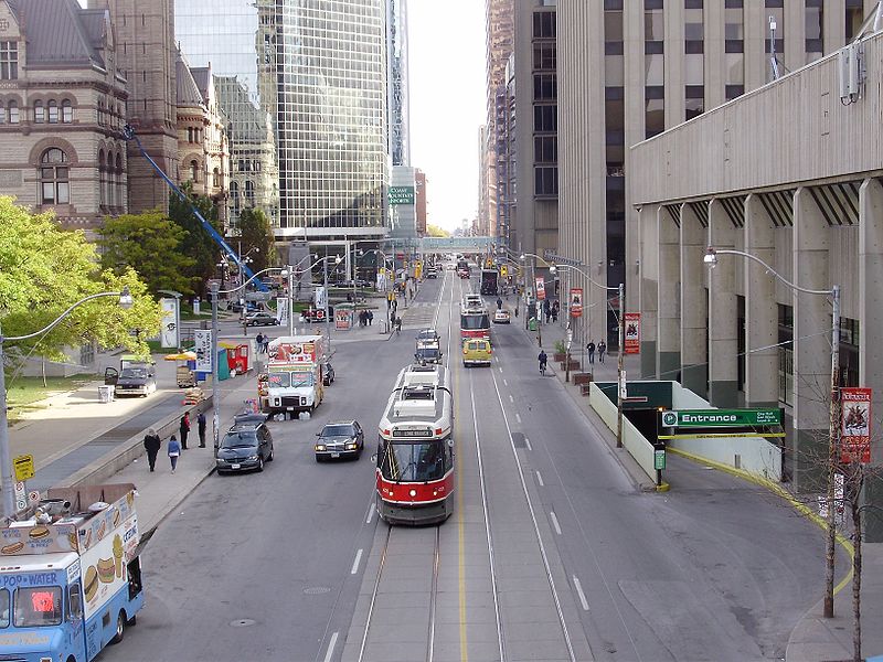
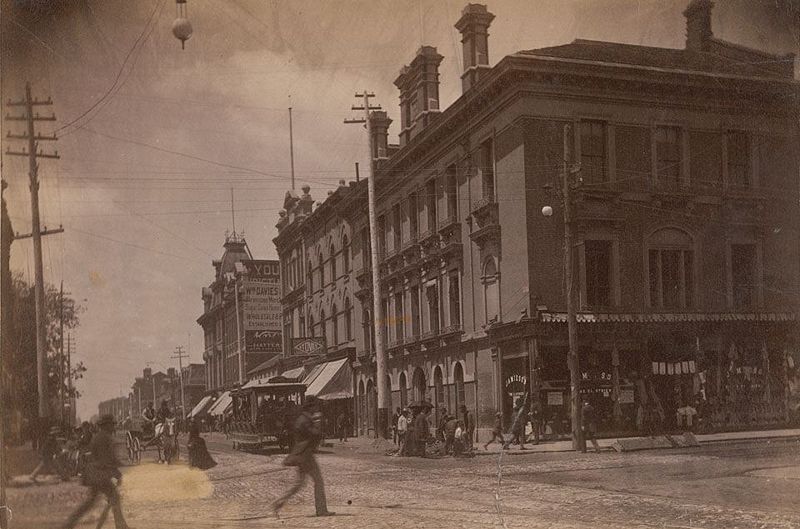
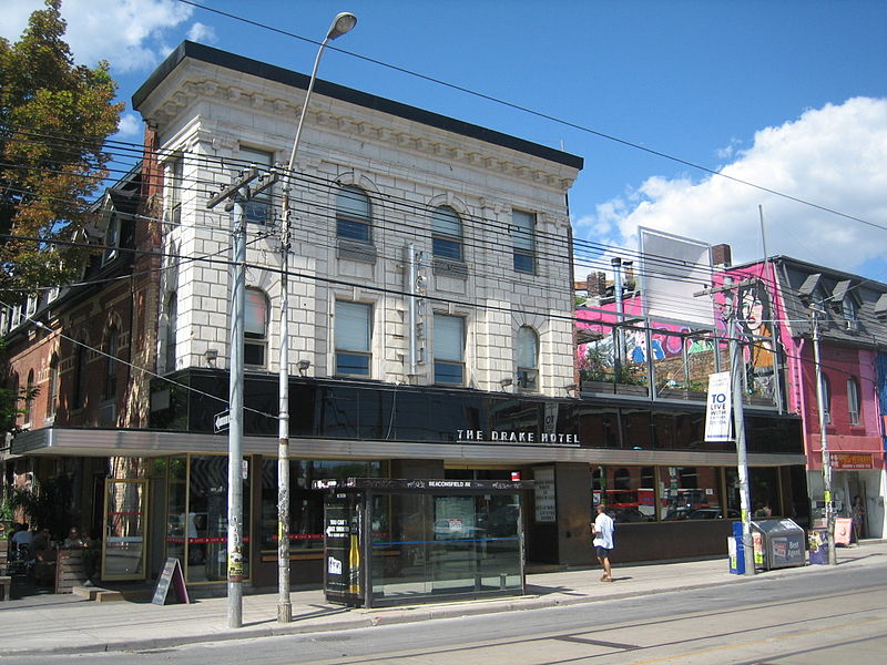
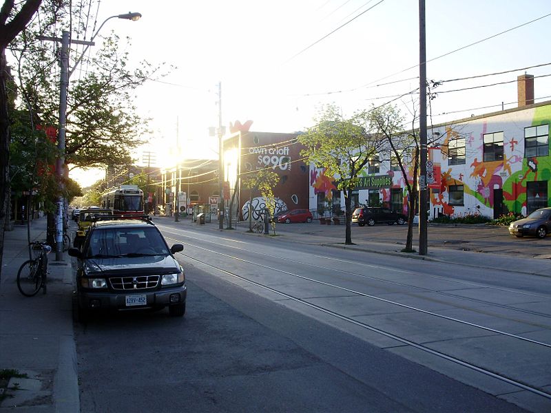
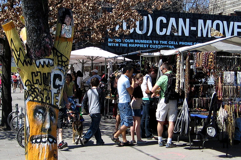
Queen Street is a major east-west thoroughfare in Toronto, Ontario, Canada. It extends from Roncesvalles Avenue and King Street in the west to Victoria Park Avenue in the east. Queen Street was the cartographic baseline for the original east-west avenues of Toronto's and York County's grid pattern of major roads. The western section of Queen is a centre for Canadian broadcasting, music, fashion, performance, and the visual arts. Over the past twenty-five years, Queen West has become an international arts centre and a tourist attraction in Toronto. ()
Downtown Toronto (Grange Park)Toronto
Queen Street West – popular in the area (distance from the attraction)
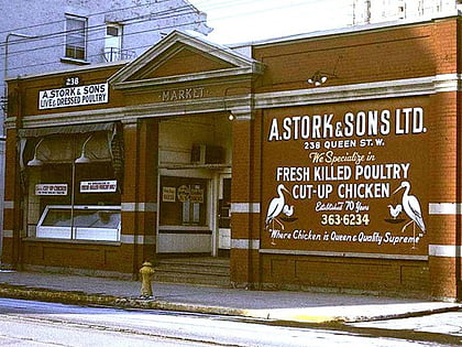
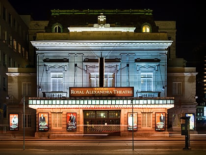
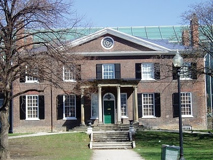
Nearby attractions include: Art Gallery of Ontario, OCAD University, Campbell House, St. Patrick's Market.
Frequently Asked Questions (FAQ)
Which popular attractions are close to Queen Street West?
How to get to Queen Street West by public transport?
Tram
- Soho Street • Lines: 501, 501;301 (2 min walk)
- John Street • Lines: 501, 501;301 (2 min walk)
Metro
- Osgoode • Lines: 1 (8 min walk)
- St. Andrew • Lines: 1 (11 min walk)
Bus
- Albert Street • Lines: 19 (14 min walk)
- Queen Street West • Lines: 19 (15 min walk)
Train
- Toronto Union Station (18 min walk)
Ferry
- Jack Layton Ferry Terminal • Lines: Toronto Island Ferry, Ward's Island (28 min walk)
- Bathurst Street Terminal • Lines: Billy Bishop Airport Ferry (29 min walk)



 Subway
 Streetcar system
 PATH
PATH


