Riverlot 56, St. Albert
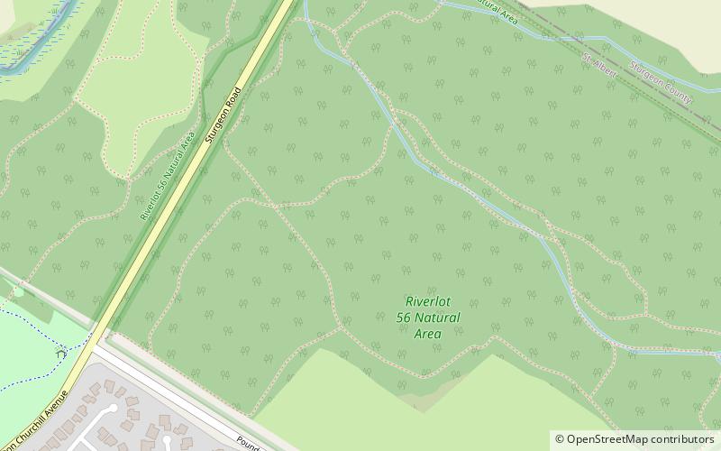
Map
Map

Facts and practical information
Riverlot 56 (address: Sturgeon Road and Poundmaker Road) is a place located in St. Albert (Alberta province) and belongs to the category of relax in park, park.
It is situated at an altitude of 2211 feet, and its geographical coordinates are 53°39'32"N latitude and 113°35'13"W longitude.
Among other places and attractions worth visiting in the area are: Servus Credit Union Place (civic center, 30 min walk), Century Casino St Albert (nightlife, 44 min walk), Goodridge Corners, Edmonton (neighbourhood, 46 min walk).
Elevation: 2211 ft a.s.l.Coordinates: 53°39'32"N, 113°35'13"W
Day trips
Riverlot 56 – popular in the area (distance from the attraction)
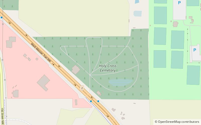
Nearby attractions include: Servus Credit Union Place, St. Albert Grain Elevator Park, Holy Cross Cemetery, Edmonton-Castle Downs.


