Étienne Brûlé Park, Toronto
Map
Gallery
Facts and practical information
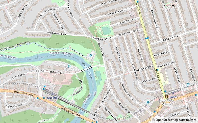
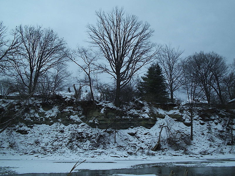
Étienne Brûlé Park is located in the Humber River valley just north of Bloor Street West in Toronto, Ontario, Canada. It is named after Étienne Brûlé, an early French explorer in the Toronto area. It is believed that Étienne Brûlé was the first European to see Lake Ontario in 1615, from a high point of land beside the Humber. ()
Elevation: 272 ft a.s.l.Coordinates: 43°39'7"N, 79°29'25"W
Day trips
Étienne Brûlé Park – popular in the area (distance from the attraction)
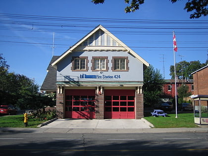
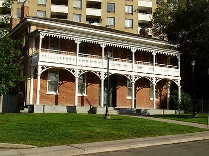
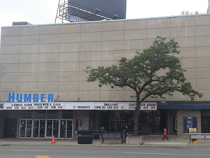
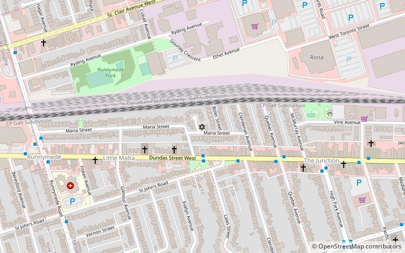
Nearby attractions include: Runnymede United Church, Lambton House, High Park, Runnymede Theatre.
Frequently Asked Questions (FAQ)
Which popular attractions are close to Étienne Brûlé Park?
Nearby attractions include Lambton, Toronto (11 min walk), Bloor West Village, Toronto (17 min walk), Park Lawn Cemetery, Toronto (17 min walk), Runnymede United Church, Toronto (17 min walk).
How to get to Étienne Brûlé Park by public transport?
The nearest stations to Étienne Brûlé Park:
Metro
Bus
Tram
Metro
- Old Mill • Lines: 2 (7 min walk)
- Jane • Lines: 2 (9 min walk)
Bus
- Jane (9 min walk)
- Runnymede (19 min walk)
Tram
- South Kingsway • Lines: 501, 501;301 (36 min walk)
- Windermere Avenue • Lines: 501, 501;301 (37 min walk)

 Subway
 Streetcar system
 PATH
PATH